
Area code(s) +53-322 Local time Friday 4:47 PM | Time zone EST (UTC-5) Elevation 81 m Population 1,593 (2011) | |
 | ||
Weather 23°C, Wind NE at 29 km/h, 54% Humidity | ||
Magarabomba is a village and consejo popular in the Camagüey Province of Cuba. It is part of the municipality of Céspedes.
Contents
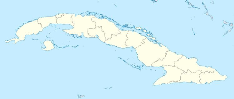
Map of Magarabomba, Cuba
Overview
Part of the municipality of Florida until 1977 reform, along with the nearby village of Piedrecitas, Magarabomba is located in the western part of the province, between Esmeralda and Céspedes, at an elevation of 81 m (266 ft).
Demographics
Amount of population by year:
References
Magarabomba Wikipedia(Text) CC BY-SA