
Congressional district At-large Website co.carbon.mt.us Founded 1895 | Area 5,341 km² Population 10,340 (2013) | |
 | ||
Cities Red Lodge, Joliet, Bridger, Fromberg, Bearcreek, Roberts, Montana, Roscoe, Montana, Edgar, Montana, Boyd, Montana Points of interest Red Lodge Mountain, Rock Creek Vista, Carbon County Historical, Beartooth Nature Center, Yellowstone River | ||
Fromberg carbon county montana
Carbon County is a county in the U.S. state of Montana. As of the 2010 census, the population was 10,078. Its county seat is Red Lodge.
Contents
- Fromberg carbon county montana
- Map of Carbon County MT USA
- History
- Geography
- Major highways
- Adjacent counties
- National protected areas
- 2000 census
- 2010 census
- Economy
- City
- Towns
- Census designated place
- Unincorporated communities
- Ghost towns
- References
Map of Carbon County, MT, USA
Carbon County is part of the Billings, MT Metropolitan Statistical Area.
History
Carbon County was named for the rich coal deposits found in the area. Land from Park and Yellowstone counties was used to form Carbon County on March 4, 1895. More than sixty federally designated historic sites are located in the county, including Petroglyph Canyon, one of the state's most important rock art sites.
The first commercial oil well in the state was established in Elk Basin fields in 1915.
Geography
According to the U.S. Census Bureau, the county has a total area of 2,062 square miles (5,340 km2), of which 2,049 square miles (5,310 km2) is land and 13 square miles (34 km2) (0.6%) is water.
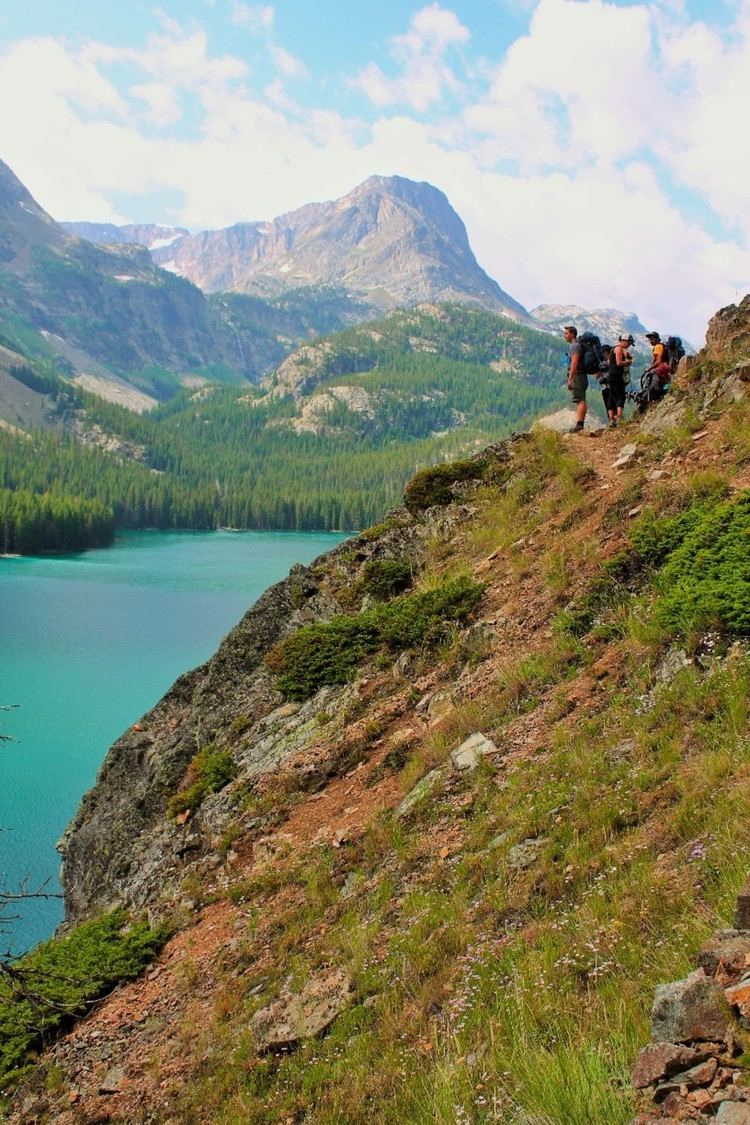
Granite Peak, the highest mountain in Montana, is found in the Beartooth Mountains. The Beartooth Highway, one of the "most spectacular alpine highways", links Red Lodge to Cooke City. The Pryor Mountains are in the east of the county, along with the Big Horn River.
Major highways
Adjacent counties
National protected areas
2000 census
As of the census of 2000, there were 9,552 people, 4,065 households, and 2,707 families residing in the county. The population density was 5 people per square mile (2/km²). There were 5,494 housing units at an average density of 3 per square mile (1/km²). The racial makeup of the county was 97.07% White, 0.25% Black or African American, 0.68% Native American, 0.36% Asian, 0.65% from other races, and 0.99% from two or more races. 1.77% of the population were Hispanic or Latino of any race. 28.8% were of German, 11.5% English, 9.2% Irish, 8.9% Norwegian, 5.9% American and 5.2% Italian ancestry.
There were 4,065 households out of which 28.40% had children under the age of 18 living with them, 56.70% were married couples living together, 6.70% had a female householder with no husband present, and 33.40% were non-families. 28.80% of all households were made up of individuals and 12.10% had someone living alone who was 65 years of age or older. The average household size was 2.32 and the average family size was 2.86.
In the county, the population was spread out with 24.00% under the age of 18, 5.70% from 18 to 24, 26.10% from 25 to 44, 27.30% from 45 to 64, and 16.80% who were 65 years of age or older. The median age was 42 years. For every 100 females there were 100.40 males. For every 100 females age 18 and over, there were 97.30 males.
The median income for a household in the county was $32,139, and the median income for a family was $38,405. Males had a median income of $30,226 versus $19,945 for females. The per capita income for the county was $17,204. About 8.20% of families and 11.60% of the population were below the poverty line, including 14.30% of those under age 18 and 8.80% of those age 65 or over.
2010 census
As of the 2010 United States Census, there were 10,078 people, 4,571 households, and 2,884 families residing in the county. The population density was 4.9 inhabitants per square mile (1.9/km2). There were 6,441 housing units at an average density of 3.1 per square mile (1.2/km2). The racial makeup of the county was 97.2% white, 0.8% American Indian, 0.3% black or African American, 0.2% Asian, 0.4% from other races, and 1.0% from two or more races. Those of Hispanic or Latino origin made up 1.9% of the population. In terms of ancestry, 32.3% were German, 16.2% were Irish, 14.5% were English, 12.6% were American, and 6.6% were Norwegian.
Of the 4,571 households, 23.6% had children under the age of 18 living with them, 53.4% were married couples living together, 6.1% had a female householder with no husband present, 36.9% were non-families, and 31.2% of all households were made up of individuals. The average household size was 2.19 and the average family size was 2.74. The median age was 48.1 years.
The median income for a household in the county was $49,010 and the median income for a family was $59,823. Males had a median income of $41,241 versus $26,150 for females. The per capita income for the county was $24,983. About 8.1% of families and 12.2% of the population were below the poverty line, including 14.1% of those under age 18 and 11.1% of those age 65 or over.
Economy
During the early history of Carbon County, coal mining was the predominant industry. The current economy relies on agriculture, recreation, and tourism.
In 2009 the top employers were Beartooth Hospital & Health Center, Red Lodge Mountain, and the Red Lodge Pizza Company.
In December 2014, construction began on a large windfarm, Mud Springs Wind Ranch, with 120 wind turbines. The site is 12 miles southeast of Bridger.
City
Towns
Census-designated place
Unincorporated communities
Ghost towns
The following communities existed in Carbon County at one time: