
Founded February 26, 1883 Population 154,162 (2013) Unemployment rate 2.9% (Apr 2015) | Congressional district At-large Area 6,861 km² | |
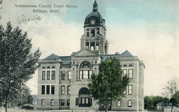 | ||
Website www.co.yellowstone.mt.gov Colleges and Universities Montana State University, Rocky Mountain College, Yellowstone Baptist College, Bold Beauty Academy Points of interest Yellowstone River, Western Heritage Center, Pictograph Cave, Yellowstone Art Museum, Lake Elmo State Park | ||
Yellowstone County is the most populous county in the U.S. state of Montana. As of the 2010 census, the population was 147,972, and a 2014 estimate put the population at 155,634. Its county seat is Billings. Yellowstone County is named for the Yellowstone River which roughly bisects the county from southwest to northeast. The river in turn was named after the yellow Sandstone cliffs in what is now Yellowstone County.
Contents
- Map of Yellowstone County MT USA
- Geography
- Adjacent counties
- National protected areas
- 2000 census
- 2010 census
- Cities
- Town
- Census designated places
- Unincorporated communities
- Ghost towns
- References
Map of Yellowstone County, MT, USA
Yellowstone County is included in the Billings, MT Metropolitan Statistical Area.
Geography
According to the U.S. Census Bureau, the county has a total area of 2,649 square miles (6,860 km2), of which 2,633 square miles (6,820 km2) is land and 16 square miles (41 km2) (0.6%) is water.
Adjacent counties
National protected areas
2000 census
As of the census of 2000, there were 129,352 people, 52,084 households, and 34,219 families residing in the county. The population density was 49 people per square mile (19/km²). There were 54,563 housing units at an average density of 21 per square mile (8/km²). The racial makeup of the county was 92.78% White, 0.45% Black or African American, 3.05% Native American, 0.54% Asian, 0.04% Pacific Islander, 1.26% from other races, and 1.87% from two or more races. 3.70% of the population were Hispanic or Latino of any race. 31.1% were of German, 10.4% Norwegian, 9.7% Irish, 9.3% English and 5.4% American ancestry.
There were 52,084 households out of which 31.60% had children under the age of 18 living with them, 51.80% were married couples living together, 10.10% had a female householder with no husband present, and 34.30% were non-families. 27.90% of all households were made up of individuals and 10.10% had someone living alone who was 65 years of age or older. The average household size was 2.43 and the average family size was 2.98.
In the county, the population was spread out with 25.50% under the age of 18, 9.30% from 18 to 24, 28.70% from 25 to 44, 23.20% from 45 to 64, and 13.30% who were 65 years of age or older. The median age was 37 years. For every 100 females there were 95.20 males. For every 100 females age 18 and over, there were 91.60 males.
The median income for a household in the county was $36,727, and the median income for a family was $45,277. Males had a median income of $33,475 versus $21,566 for females. The per capita income for the county was $19,303. About 8.50% of families and 11.10% of the population were below the poverty line, including 14.50% of those under age 18 and 7.40% of those age 65 or over.
2010 census
As of the 2010 United States Census, there were 147,972 people, 60,672 households, and 38,367 families residing in the county. The population density was 56.2 inhabitants per square mile (21.7/km2). There were 63,943 housing units at an average density of 24.3 per square mile (9.4/km2). The racial makeup of the county was 90.7% white, 4.0% American Indian, 0.6% black or African American, 0.6% Asian, 0.1% Pacific islander, 1.2% from other races, and 2.8% from two or more races. Those of Hispanic or Latino origin made up 4.7% of the population. In terms of ancestry, 32.4% were German, 14.0% were Irish, 11.3% were English, 10.0% were American, and 9.9% were Norwegian.
Of the 60,672 households, 30.5% had children under the age of 18 living with them, 48.0% were married couples living together, 10.5% had a female householder with no husband present, 36.8% were non-families, and 29.7% of all households were made up of individuals. The average household size was 2.38 and the average family size was 2.94. The median age was 38.3 years.
The median income for a household in the county was $48,641 and the median income for a family was $62,380. Males had a median income of $42,899 versus $30,403 for females. The per capita income for the county was $26,152. About 7.9% of families and 11.2% of the population were below the poverty line, including 15.6% of those under age 18 and 7.7% of those age 65 or over.