
 | ||
Port gentil dirt road on cape lopez 2
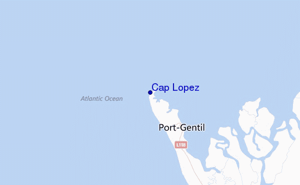
Cape Lopez (French: Cap Lopez) is a 55 km-long peninsula on the coast of west central Africa, in the country of Gabon. It separates the Gulf of Guinea from the South Atlantic Ocean, and is located at latitude -0.63° (0° 38' S) and longitude 8.7° (8° 42' E). Lying in the delta of the Ogooué River, it shelters the seaport of Port-Gentil. A lighthouse has existed on the Cape since 1897; the current tower was built in 1911, but has been inactive for many years and is in danger of collapsing from erosion.
Contents
- Port gentil dirt road on cape lopez 2
- Map of Cape Lopez Gabon
- Port gentil dirt road on cape lopez 3
- References
Map of Cape Lopez, Gabon
It is named after the Portuguese explorer Lopes Gonçalves, who reached it about 1474.
Port gentil dirt road on cape lopez 3
References
Cape Lopez Wikipedia(Text) CC BY-SA