
Country United States Established 1805 ZIP code 13617 Area 274.3 km² Local time Wednesday 8:58 AM | Time zone EST (UTC-5) Demonym CantonianCantonite Area code 315 | |
 | ||
Weather 4°C, Wind S at 19 km/h, 87% Humidity Points of interest Richard F Brush Art Gallery, Traditional Arts in Upstate NY (TAUNY), Willow Island Park Colleges and Universities State University of New York at Canton, St. Lawrence University | ||
Canton is a town in St. Lawrence County, New York, United States. The population was 10,995 at the 2010 census. The town contains two villages: one also named Canton, the other named Rensselaer Falls. The town is named after the great port of Canton (now named Guangzhou) in China. Canton is the home of St. Lawrence University and SUNY Canton. Canton Central School District is centered in the village of Canton.
Contents
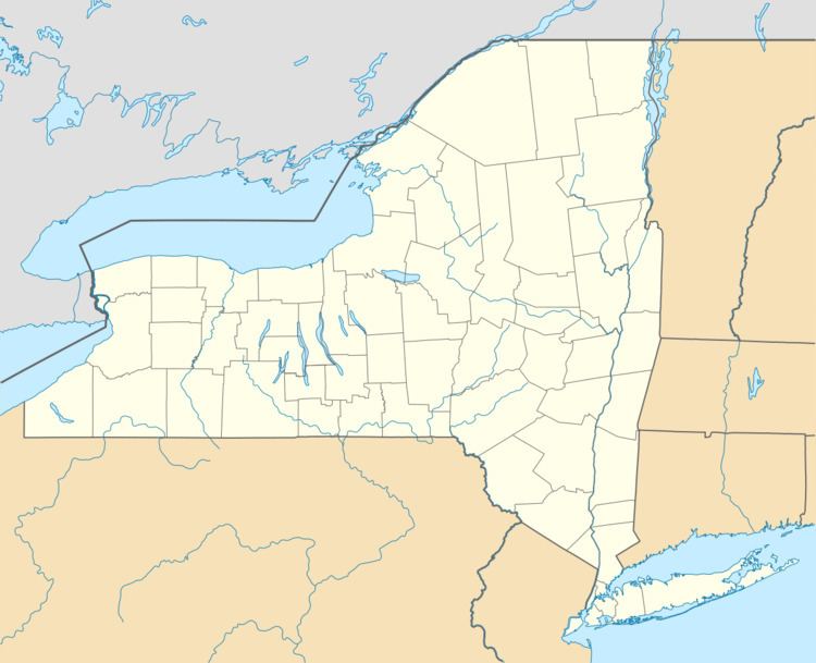
- Map of Canton NY USA
- History
- Geography
- Demographics
- Transportation
- Communities and locations in the town
- Notable people
- References
Map of Canton, NY, USA
History
The first settler arrived in 1800. The town was organized/incorporated on May 14th, 1805 from part of the town of Lisbon. The name Canton was supposedly selected due to contemporary interests in the China trade. Canton was one of the original ten towns of the county. In 1845, the community of Canton was incorporated as a village. The Brick Chapel Church and Cemetery was listed on the National Register of Historic Places in 2005.
Geography
According to the United States Census Bureau, the town has a total area of 105.9 square miles (274.3 km²), of which, 104.8 square miles (271.4 km²) of it is land and 1.1 square miles (2.8 km²) of it (1.03%) is water.
The Grasse River flows northward through the centre of St. Lawrence County, and the Oswegatchie River flows through the northwest corner. U.S. Route 11 is a northeast-southwest highway, which intersects New York State Route 68 and New York State Route 310 at Canton village.
Demographics
As of 2000, the census reported that there were 10,334 people, 3,198 households, and 2,011 families residing in the town. The population density was 98.6 people per square mile (38.1/km²). There were 3,515 housing units at an average density of 33.5 per square mile (12.9/km²). 91.81% White, 4.49% Black or African American, 0.54% Native American, 0.99% Asian, 1.02% from other races, and 1.16% from two or more races. Hispanic or Latino of any race were 1.92% of the population. There were 3,198 households out of which 31.8% had children under the age of 18 living with them, 49.3% were married couples living together, 9.8% had a female householder with no husband present, and 37.1% were non-families. 29.8% of all households were made up of individuals and 11.0% had someone living alone who was 65 years of age or older. The average household size was 2.40 and the average family size was 2.99.
In the town, the population was spread out with 18.9% under the age of 18, 29.6% from 18 to 24, 21.8% from 25 to 44, 18.4% from 45 to 64, and 11.4% who were 65 years of age or older. The median age was 27 years. For every 100 females there were 99.7 males. For every 100 females age 18 and over, there were 98.6 males.
The median income for a household in the town was $36,875, and the median income for a family was $43,819. Males had a median income of $33,993 versus $25,989 for females. The per capita income for the town was $14,896. About 9.2% of families and 12.4% of the population were below the poverty line, including 13.6% of those under age 18 and 7.5% of those age 65 or over.
Transportation
U.S. Route 11 runs through Canton, and as such, is served by Adirondack Trailways, with stops in Gouverneur, Watertown and Syracuse to the west, and Potsdam, Malone and Rouses Point to the east. To the north on New York State Route 68, Ogdensburg borders Canada at the Johnstown crossing, which in turn is an hour from the capital, Ottawa.