Country Canada Incorporated 1966 Area 106.9 km² Local time Tuesday 3:33 AM | Time zone EST (UTC-4) Population 717 (2011) Province New Brunswick | |
 | ||
Website www.cambridge-narrows.ca Weather -11°C, Wind SE at 5 km/h, 84% Humidity | ||
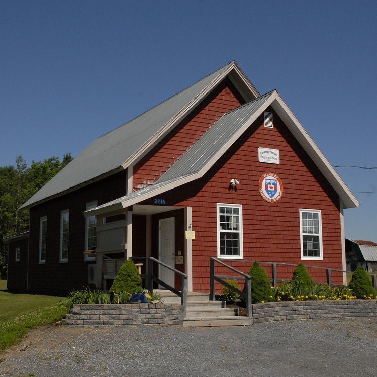
Cambridge-Narrows (2006 pop.: 717) is a Canadian village located in Queens County, New Brunswick.
Contents
Map of Cambridge-Narrows, NB, Canada
The village straddles Washedemoak Lake, a widening of the Canaan River, several kilometres upstream of the Saint John River. Cambridge-Narrows has 3 main arteries, Route 695, Route 715, and Route 710
History
The village consists of two separate settlements on either side of the river, Cambridge and The Narrows, which were merged under one municipal government in 1966.
Bordering communities
References
Cambridge-Narrows Wikipedia(Text) CC BY-SA
