
South end: Route 695 in Jemseg Province New Brunswick | Length 53 km | |
 | ||
North end: Route 10 and Route 112 in Coles Island | ||
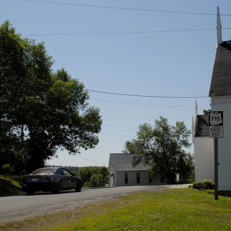
Route 715 is a 53.2-kilometre (33.1 mi) long mostly north-south secondary highway in the southern portion of New Brunswick, Canada. Most of the route is in Queens County.
Map of NB-715, New Brunswick, Canada
The route starts at the intersection of Route 10 and Route 112 north of Coles Island, where it travels south along the east bank of the Canaan River. It travels through a mostly forested area past Chambres Corner and Washademoak where it takes a sharp turn west at Pattersons Cove. From here, road continues west to Picketts Cove where it passes around the cove and enters the community of Picketts Cove. The road continues southwest around Fowlers Cove where it intersects with Route 695 in Cambridge-Narrows. Continuing, the road passes through McDonald Corner, Central Cambridge, and Lower Cambridge. At this point, the road takes a sharp turn northwest and heads towards Lower Jemseg. The final stretch passes by Dykeman Lake before ending at Jemseg at the western terminus of Route 695 on the Saint John River.