
Length 1.49 km | ||
 | ||
South end: US 101 in East Palo Alto | ||
State Route 114 (SR 114) is a short state highway in the U.S. state of California that runs between U.S. Route 101 and State Route 84 in East Palo Alto and Menlo Park. It is better known by its street name, Willow Road.
Contents
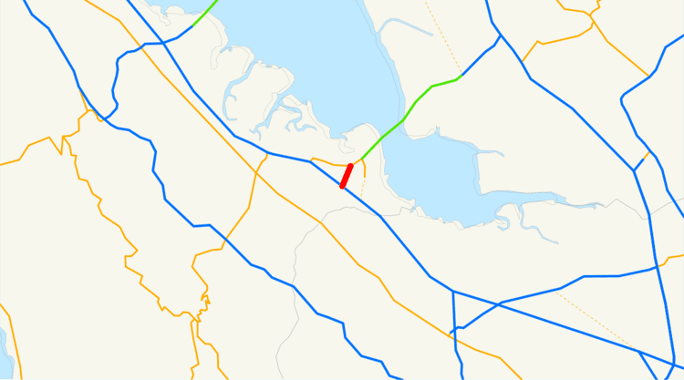
Map of CA-114, Menlo Park, CA 94025, USA
SR 114 was originally planned to stretch to I-280, but that portion was never constructed and has since been deleted from the legislative definition.
Route description
The route begins at U.S. Route 101 in East Palo Alto. From here, it heads east into Menlo Park. Here, it meets Hamilton Avenue and its east end at SR 84, which continues to the Dumbarton Bridge over the San Francisco Bay.
History
When defined in 1963, the route began at I-280 and ended at US 101. In 1984, a segment of SR 84 in the vicinity was swapped with SR 114, moving SR 114 from I-280 to SR 84, which followed Willow Road, as it does today. In 1990, however, the I-280 section was truncated and the terminus was switched to US 101.
Major intersections
Except where prefixed with a letter, postmiles were measured on the road as it was in 1964, based on the alignment that existed at the time, and do not necessarily reflect current mileage. R reflects a realignment in the route since then, M indicates a second realignment, L refers an overlap due to a correction or change, and T indicates postmiles classified as temporary (for a full list of prefixes, see the list of postmile definitions). Segments that remain unconstructed or have been relinquished to local control may be omitted. The entire route is in San Mateo County.