
Time zone BRT/BRST (UTC-3/-2) | Elevation 483 m (1,585 ft) Area 1,654 km² | |
 | ||
Microregion Quirinópolis Microregion | ||
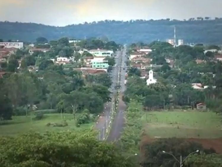
Cachoeira Alta is a municipality in south Goiás state, Brazil. The population was 8,103 inhabitants in 2007 in a total area of 1659.4 km². Cachoeira Alta has one of the largest cattle herds in the state.
Contents
- Map of Cachoeira Alta State of GoiC3A1s Brazil
- Location
- Demographics
- The economy
- Health and education
- History
- References
Map of Cachoeira Alta - State of Goi%C3%A1s, Brazil
Location
Cachoeira Alta is located in the Quirinópolis Microregion in an unpopulated area of the south of the state. Some of the largest municipalities in total area are located here. There are road connections with Aparecida do Rio Doce, 57 km. to the north; and Paranaiguara, 37 km. to the southeast.
The distance to the state capital, Goiânia, is 356 km. Highway connections are made by BR-060 / Guapó / Indiara / Acreúna / Rio Verde / GO-174 / GO-422 / Aparecida do Rio Doce / BR-364. See Sepin
Neighboring municipalities are:
Demographics
(Sepin/IBGE)
The economy
The economy is based on cattle raising for meat and milk production, and agriculture, especially the planting of corn and rice. The cattle herd was 163,000 head including 12,000 milking cows in 2006.
Economic Data
Main agricultural production in planted area
Farm Data (2006) in ha.
Health and education
The infant mortality rate was 28.90 (2000) while the literacy rate was 84.4% (2000). There were 11 schools with 2,213 students and 02 hospitals with 41 beds.
Municipal Human Development Index: 0.737
History
The first European settlement on record occurred in 1876 when Manoel Batista Barroso, travelling medicine salesman, and Gabriel Paula do Amaral, settled on the right bank of the Cachoeira Alta River, five kilometers above where it meets the Rio Claro. In 1920 the town had grown and was officially called Cachoeira Alta, because of the river. In 1931 it became a district belonging to Rio Verde, being raised to municipal status in 1953.