
Topo map USGS Humboldt Peak Easiest route Hiking | Mountain range Sierra Nevada Parent range Sierra Nevada | |
 | ||
Elevation 7,124+ feet (2,171+ m) NAVD 88 Similar Mount Ingalls, Blue Angels Peak, Discovery Peak, Mount Lola, Sonora Peak | ||
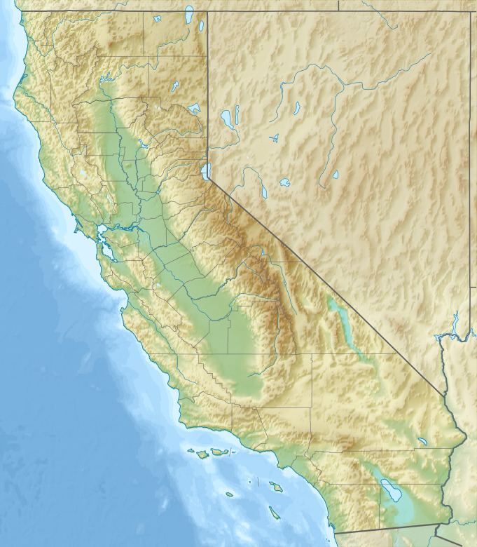
The Butte County High Point is on an unnamed mountain ridge located on the boundary between Butte and Plumas counties in the Sierra Nevada of California.
Map of Butte County High Point, California, USA
The ridge, located close to Lost Lake and Humboldt Peak, has an elevation of about 7,124+ feet (2,171+ m) at the county line. The ridge is in Lassen National Forest and within about 700 feet (200 m) of the Pacific Crest Trail. Due to its elevation the ridge receives considerable snowfall during the winter.
References
Butte County High Point, California Wikipedia(Text) CC BY-SA