
Topo map USGS In-Ko-Pah Gorge Mountain range Sierra de Juárez | Elevation 1,387 m Parent range Sierra de Juárez | |
 | ||
Similar Pilot Knob, Coyote Mountain, Hot Springs Mountain, Cuyamaca Peak, Sawmill Mountain | ||
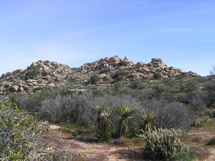
Blue Angels Peak is a mountain located in the Sierra Juárez mountains less than 300 yards (270 m) north of the United States-Mexico border in California. The mountain rises to an elevation of 4,552 feet (1,387 m) near the San Diego-Imperial county border and Interstate 8. Despite its relatively low elevation, the summit of Blue Angels Peak is the highest point in Imperial County. A 500 kV power line, an extension of Path 46 into San Diego, traverses the northern foothills of this mountain.
Map of Blue Angels Peak, California 92259, USA
The peak was named in honor of the Navy Flight Demonstration Squadron, the Blue Angels, which was based at a nearby naval air facility in El Centro.
References
Blue Angels Peak Wikipedia(Text) CC BY-SA