
Municipalities BusuangaCoron Island group Calamian Islands | Region MIMAROPA Max length 103.8 km | |
 | ||
Archipelago Calamian Group of Islands Points of interest Calamian Islands, Calamianes Expeditions & Ecotours, Coron Island Loop Tou, Majika Trail, Coron Castaway and Gran | ||
Let s travel to busuanga island palawan philippines
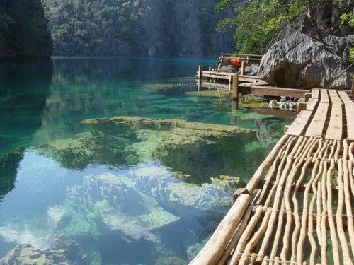
Busuanga is the largest island in the Calamian Group in the province of Palawan in the Philippines. Busuanga Island is the second largest island in the province after Palawan island itself. The island is located halfway between the islands of Mindoro and Palawan with the South China Sea located to the west and the Sulu Sea to the southeast. South of the island are the two other major islands of the Calamian Group: Culion Island and Coron Island.
Contents
Map of Busuanga Island, Philippines
The western third of the island is under the municipality of Busuanga and the eastern two-thirds belong to the municipality of Coron.
Busuanga Island is mainly known as a recreational diving location due to the twelve World War II Japanese wrecks that were sunk by American navy bombings in Coron Bay, a natural anchorage near the town center of Coron, on September 24, 1944.