
Time zone PST (UTC+8) Local time Tuesday 11:47 PM | Barangays Population 21,358 (2010) | |
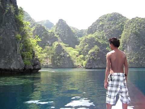 | ||
Weather 27°C, Wind SW at 6 km/h, 77% Humidity Points of interest Calamian Islands, Calauit Safari Park, Ekhaya Busuanga Island Pal, Las Hamacas Resort, Evergreen Diving Resort | ||
Busuanga is a municipality in the province of Palawan, Philippines. The territory of Busuanga covers the western one-third of Busuanga Island, as well as Calauit Island, which both are part of the Calamian Islands, lying between Mindoro and Palawan Island. According to the 2010 census, it has a population of 21,358 people.
Contents
Map of Busuanga, Palawan, Philippines
The Busuanga town center, Salvacion, is approximately 50 kilometres (31 mi) from the poblacion of its neighboring municipality of Coron. Travel time is approximately two and a half to three hours by land.
Barangays
Busuanga is politically subdivided into 16 barangays.
Note: On July 15, 2002, plebiscites held in Culion and Busuanga simultaneously with the election of barangay officials and Sangguniang Kabataan representatives resulted in the ratification of the transfer of Halsey and Burabod to Culion and the creation of Barangay Carabao.
History
Busuanga was created from the barrios of Concepcion, Salvacion, Busuanga, New Busuanga, Buluang, Quezon, Calawit, and Cheey of the town of Coron in 1950.
Quezon was reinstated as a barangay in 2000.