
 | ||
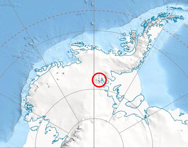
Bruguière Peak (Bulgarian: връх Брюгиер, ‘Vrah Bruguière’ \'vr&h bryu-gi-'er) is the sharp rocky peak rising to 2300 m near the end of the side ridge that trends 9.15 km northeastwards from Mount Giovinetto on the main crest of north-central Sentinel Range in Ellsworth Mountains, Antarctica. It surmounts Rumyana Glacier to the southeast and Delyo Glacier to the northwest.
Contents
Map of Brugui%C3%A8re Peak, Antarctica
The peak is named after the French zoologist Jean Guillaume Bruguière (1750-1798) who sailed with Yves-Joseph de Kerguelen-Trémarec to Kerguelen Islands in 1772, becoming the first scientist after Edmund Halley to visit the Antarctic region.
Location
Bruguière Peak is located at 78°15′17″S 85°51′45″W, which is 6.44 km northeast of Mount Giovinetto, 1.45 km northeast of Enitsa Peak, 6.83 km west of Mount Jumper, 4.58 km north-northwest of Versinikia Peak and 5.95 km north by east of Evans Peak. US mapping in 1961 and 1988.