
- location below Bymount | - elevation 403 m (1,322 ft) - elevation 244 m (801 ft) | |
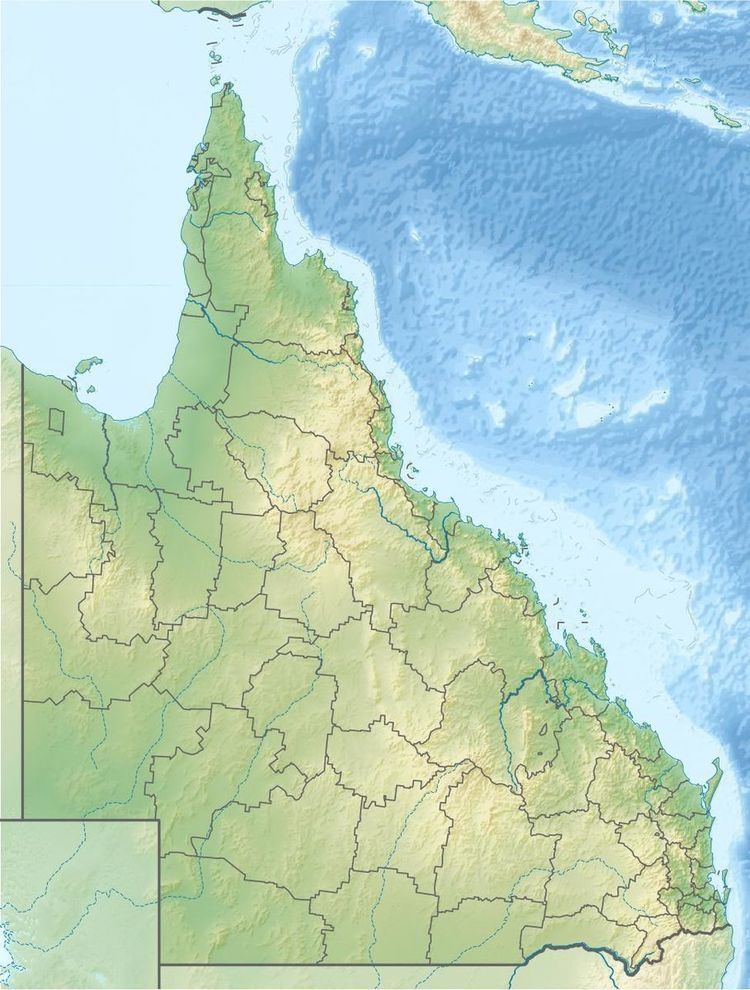 | ||
The Bungil Creek, part of the Balonne catchment within the Murray-Darling basin, is a perennial stream located in South West Queensland, Australia.
Course and features
The headwaters of the creek rise on the south-western slopes of the Great Dividing Range, below Bymount and north of Roma. The creek flows southeast through the town of Roma, with the Carnarvon Highway following much of the course of the creek. North of Surat, the Bungil Creek raches its confluence with the Spring Creek, a tributary of the Balonne River. The flow of the creek varies significantly from a very small trickle to a raging river after heavy rain. The creek descends 160 metres (520 ft) over its 233-kilometre (145 mi) course; with a catchment area of 710 square kilometres (270 sq mi).
The creek floods regularly, once inundating hundreds of properties in Roma. In March 2010, Bungil Creek experienced a major flood of 8.1 metres (27 ft); with a peak flood height of 7.6 metres (25 ft) in April 2011. Government funding enabled the construction of a levee for flood mitigation after devastating flooding in 2012. A ceremony to mark the commencement of construction for Stage 1 of a 5.2-kilometre (3.2 mi) long levee was held in September 2013.