
- location south of Monteagle - elevation 335 m (1,099 ft) | - elevation 437 m (1,434 ft) | |
 | ||
The Bulla Creek, a mostly–perennial river that is part of the Lachlan sub-catchment of the Murrumbidgee catchment within the Murray–Darling basin, is located in the South West Slopes region of New South Wales, Australia. The Bulla Creek is only connected to the Murray Darling basin when the Bland Creek and both the Lachlan and Murrumbidgee Rivers are in flood.
Contents
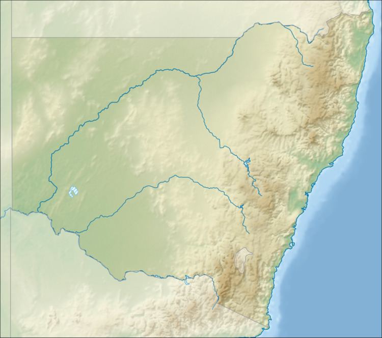
Map of Bulla Creek, New South Wales, Australia
Course and features
The Bulla Creek (technically a river) rises below Monteagle, on the south western slopes of the Great Dividing Range, and flows generally north northwest and southwest before reaching its confluence with the Burrangong Creek between Young and Grenfell. The Burrangong Creek is a tributary of the Bland Creek. The Bulla Creek descends 101 metres (331 ft) over its 22-kilometre (14 mi) course.