
- location near Frampton - elevation 205 m (673 ft) | - elevation 390 m (1,280 ft) Basin area 940,000 km² | |
 | ||
- left Narraburra Creek, Barmedman Creek - right Berthong Creek, Rushy Creek, Weedallion Creek, Bribbaree Creek, Burrangong Creek | ||
The Bland Creek, a mostly–perennial river that is part of the Lachlan sub-catchment of the Murrumbidgee catchment within the Murray–Darling basin, is located in the South West Slopes, and Riverina regions of New South Wales, Australia. The Bland Creek is only connected to the Murray Darling basin when both the Lachlan and Murrumbidgee Rivers are in flood.
Contents
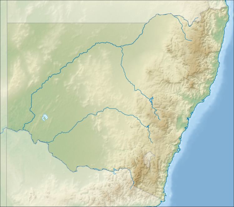
Map of Bland Creek, New South Wales, Australia
Course and features
The Bland Creek (technically a river) rises below Twins Range, a northern spur of the Great Dividing Range, and flows generally north northwest, joined by seven minor tributaries, before reaching its mouth and spilling into Lake Cowal, the largest natural inland lake in New South Wales. The creek descends 185 metres (607 ft) over its 173-kilometre (107 mi) course.
Eucalyptus camaldulensis (River Red Gum) woodland occurs along the edges of the Bland Creek. In 2012 it was reported that the Bland Creek mallee fowl was on the brink of extinction.
The creek is crossed by the Newell Highway south of the river mouth and east of Wyalong.