
Traversed by Road, rail | Elevation 1,008 m | |
 | ||
Similar | ||
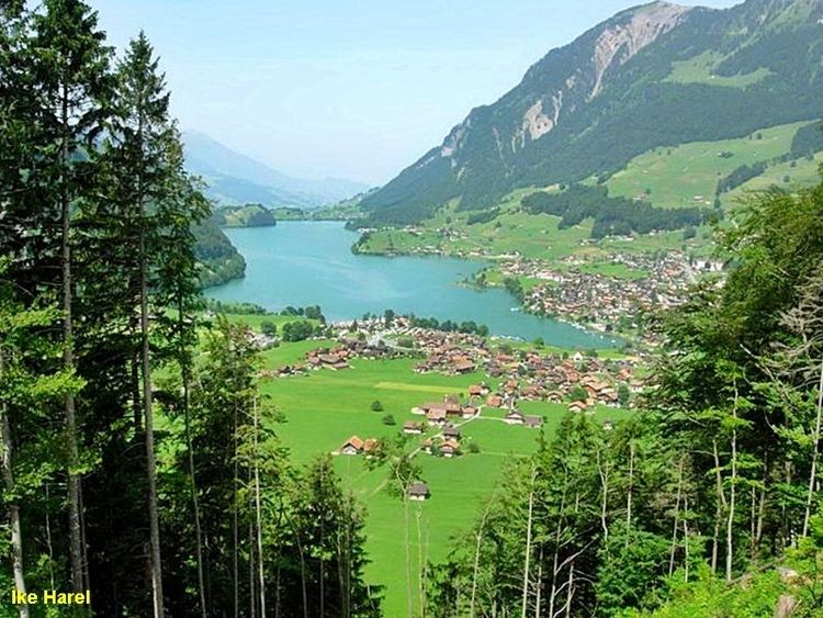
The Brünig Pass, at an altitude of 1,008 m (3,307 ft), connects the Bernese Oberland and central Switzerland, linking Meiringen in the canton of Bern and Lungern in the canton of Obwalden. It is on the watershed between the upper reaches of the Aare, which flows through Lake Brienz and Lake Thun, and the Sarner Aa, which flows into Lake Lucerne.
Map of Br%C3%BCnig Pass, 3860 Meiringen, Switzerland
The pass is crossed by the Zentralbahn's Brünig railway line, between Lucerne and Interlaken, and that line's Brünig-Hasliberg station is situated in the pass. The pass is also crossed by the A8 motorway, between Lucerne and Spiez. Both rail and road crossings are normally kept open throughout the winter.
The pass is the starting or finishing point of many hikes. Particularly popular is the route to or from the Brienzer Rothorn, which is accessible by rail at both ends.
The pass is the subject of a watercolour painting by J. M. W. Turner, entitled The Brunig Pass, from Meiringen, and dating from c.1847-8.