
North end: Canada–US border Constructed 1962 | South end: Canada–US border Length 20.02 km Major cities Surrey | |
 | ||
History: BC: 1913 – presentWA: 1919 – present Majorjunctions: BC 10 in SurreyGolden Ears Way in Surrey | ||
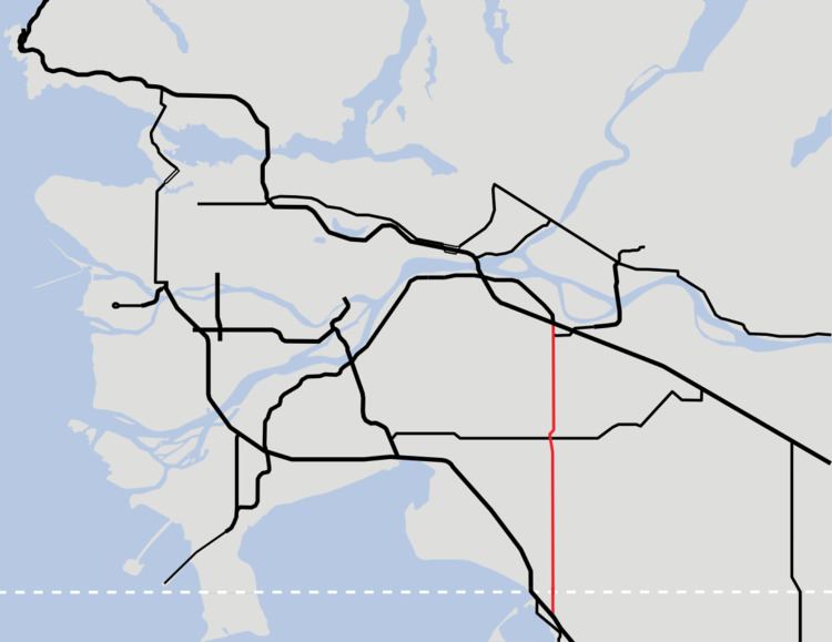
Highway 15 (BC 15), known locally as the Pacific Highway, is a 20.99-kilometre-long (13.04 mi) north–south highway primarily located in the City of Surrey, British Columbia. The southern terminus is with Interstate 5 (I-5) near Blaine, Washington as Washington State Route 543 (SR 543). SR 543 is a 1.09-mile-long (1.75 km) connector between I-5 and the Canada–US border, linking with BC 15. Over 3,000 trucks per day pass through the border crossing along SR 543 and BC 15, because the Peace Arch border crossing does not allow commercial trucks.
Contents
Route description
SR 543 starts at an incomplete trumpet interchange with I-5 and heads north, passing the now closed Blaine Municipal Airport. An at-grade interchange with H Street is next, before the road widens and an interior lane diamond interchange with D street, providing access to Blaine and the last northbound exit before the border. Traffic from 12th Street can access both northbound and southbound SR 543, and traffic from southbound SR 543 can access 12th Street as the final interchange before the Canada–US border.
The border features both a NEXUS lane for passenger vehicles, as well as a Free and Secure Trade (FAST) lane for commercial trucks. Border crossing times can become significantly delayed such as in the event of certain Seattle Mariners baseball games and summer holiday travel. During the reconstruction of the Peace Arch border crossing, delays at the Pacific Highway crossing were similar to times seen right after the attacks of September 11.
Continuing north, now as BC 15, the highway passes farmland and intersects 8 Avenue, which provides access to British Columbia Highway 99 to the west. The highway turns west slightly before entering Cloverdale and crossing over railroad tracks of the Southern Railway of British Columbia. BC 10 is intersected before the highway moves back towards the east and its original alignment on 176th Street. Farmland once again surrounds the highway as it interchanges with the Fraser Highway and terminates at a Parclo A4 interchange with BC 1. On December 21, 2013 the CA$1 billion South Fraser Perimeter Road opened, linking the northern terminus of BC 15 to Delta in the west.
History
The Pacific Highway was opened as a gravel road on July 12, 1913 and again on September 3, 1923 as a paved road. For a time between 1942 and 1958, BC 15 was designated number 99A after the King George Highway (Hwy. 99 from 1942 to 1972, Hwy. 99A from 1973 to 2006) superseded it as the primary route to the Canada–US border. In 2008, the highway was widened to four lanes as part of the Gateway Program to improve provincial highways in Metro Vancouver. (In 2009, the city of Surrey renamed "King George Highway" to "King George Boulevard").
Prior to the current Washington route numbering system, this route was designated as Primary State Highway 1 Truck Route.
A construction project was completed in August 2008 on the United States side, at a total cost of US$50.8 million, which improved the interchange with D street, which is now raised above SR 543. The left lane from SR 543 in each direction is raised above for travelers wishing to access D Street, while the rest of the traffic continues below the intersection. Two additional lanes have been added going northbound, and one additional lane has been added southbound.
Major intersections
From south to north: