Population 0 | Length 1 km (0.6 mi) | |
 | ||
Bowler Rocks is a group of rocks off the north coast of Greenwich Island in the South Shetland Islands, Antarctica lying southwest of Table Island and northwest of Aitcho Islands, and extending 1 km (0.62 mi) in east-west direction. The area was visited by early 19th century sealers.
Contents
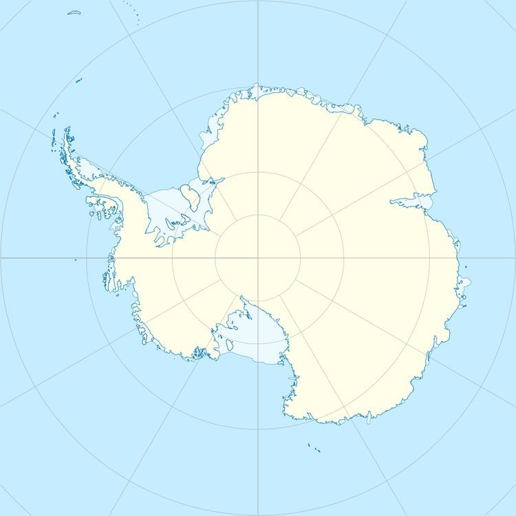
Map of Bowler Rocks, Antarctica
The feature is named after David Bowler, surveying recorder aboard the launch Nimrod during the Royal Navy hydrographic survey of the rocks in 1967.
Location
The midpoint is located at which is 1.1 km (0.68 mi) southwest of Table Island, 2.15 km (1.34 mi) northwest of Morris Rock, 3.1 km (1.9 mi) north of Holmes Rock and 5.3 km (3.3 mi) northeast of Romeo Island (Argentine mapping in 1949, 1953 and 1980, British in 1968 and 1974, Chilean in 1971, and Bulgarian in 2009).
Maps
References
Bowler Rocks Wikipedia(Text) CC BY-SA
