
 | ||
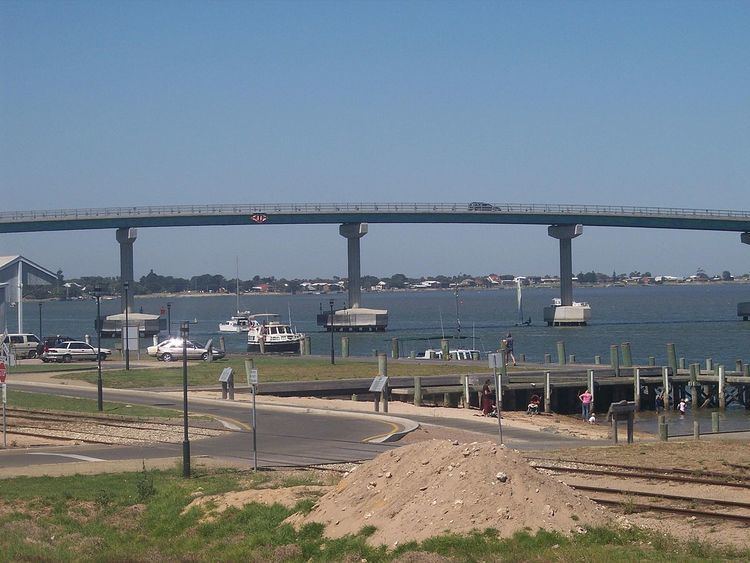
The Murray River in south-eastern Australia has been a significant barrier to land-based travel and trade. This article lists and briefly describes all of the recognised crossing points. Many of these had also developed as river ports for transport of goods along the Murray. Now almost every significant town along the river has a bridge or vehicle-carrying cable ferry nearby.
Contents
Map of Murray River, Australia
The crossings are listed in order starting from the Murray Mouth and proceeding upstream.
South Australia
As the ferries are registered as boats, each one has a name, usually named after a waterbird. As of August 2010, the ferry names are:
In Victoria and New South Wales
The south bank of the river forms the border between these two states and former colonies, so in many cases there is a town on each side of the river. If two towns are named in this list, the Victorian one is first for clarity and consistency.
Most of the bridges downstream of Echuca are liftspan bridges to enable paddlesteamer traffic to pass underneath even in times of high water flow.
The Hume, Newell and Sturt Highway bridges are owned and managed by the Federal Government. The others are the responsibility of New South Wales and Victoria.