
Postcode(s) 5238 Postal code 5238 | ||
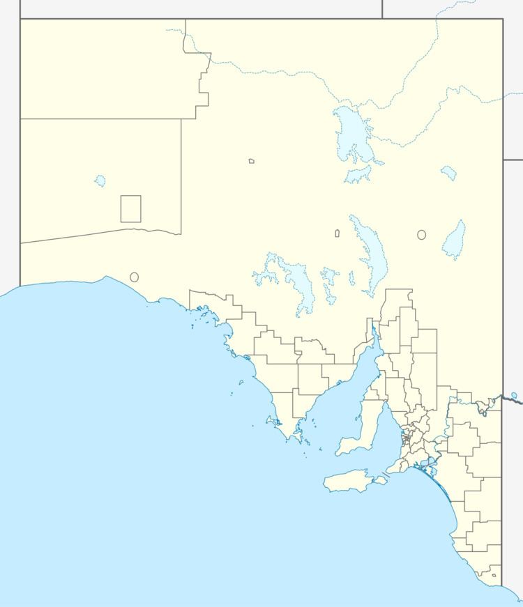 | ||
Location 115 km (71 mi) E of Adelaide32 km (20 mi) NE of Mannum | ||
Purnong or Purnong Landing is the location of a cable ferry across the Murray River upstream of Mannum. The town is on the cliffs above the left (eastern) bank of the river. It is 32 kilometres (20 mi) by road from Mannum on the west side of the Murray, and 40 kilometres (25 mi) on the east side.
Map of Purnong SA 5238, Australia
The town was surveyed in 1911 and named for an Aboriginal word meaning at the wide place. The ferry crossing is the shortest in South Australia, but there are lagoons adjacent to the river.
Purnong Primary School closed in December 1983.
References
Purnong, South Australia Wikipedia(Text) CC BY-SA