Puneet Varma (Editor)

Bourbre

Updated on
Edit
Like
Comment
Share on FacebookTweet on TwitterShare on LinkedInShare on Reddit
River mouth
  
Rhone 190 m (620 ft)

Length
  
72 km

Mouth
  
Rhône

Basin size
  
703 km (271 sq mi)

Basin area
  
703 km²

Country
  
France

Bourbre wwwmairievirieufruserfilesP1000857JPG

Main source
  
Burcin 495 m (1,624 ft)

Progression
  
Rhône→ Mediterranean Sea

Discharge
  
Average rate: 7.85 m/s (277 cu ft/s)

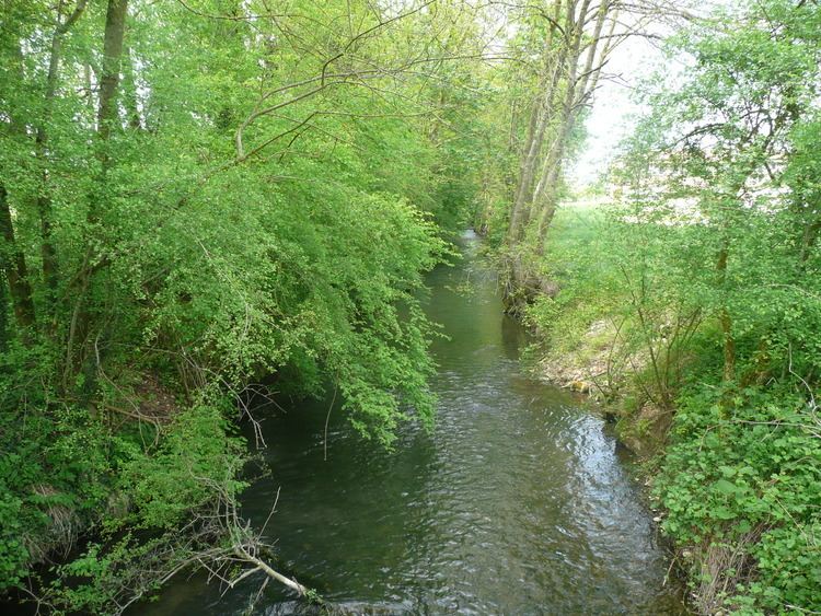
The Bourbre (French: la Bourbre) is a 72.2 km (44.9 mi) long river in the Isère and Rhône départements, central eastern France. Its source is in Burcin. It flows generally north-northwest. It is a left tributary of the Rhone into which it flows at Chavanoz.

Contents

Map of La Bourbre, France

Départements and communes along its course

This list is ordered from source to mouth:

  • Isère: Burcin, Châbons, Virieu, Blandin, Panissage, Chélieu, Chassignieu, Le Passage, Saint-Ondras, Saint-André-le-Gaz, Fitilieu, La Bâtie-Montgascon, Saint-Didier-de-la-Tour, Saint-Clair-de-la-Tour, La Tour-du-Pin, Saint-Jean-de-Soudain, Rochetoirin, Cessieu, Sérézin-de-la-Tour, Ruy, Nivolas-Vermelle, Bourgoin-Jallieu, L'Isle-d'Abeau, Vaulx-Milieu, Villefontaine, La Verpillière, Saint-Quentin-Fallavier, Chamagnieu, Satolas-et-Bonce
  • Rhône: Colombier-Saugnieu
  • Isère: Tignieu-Jameyzieu, Charvieu-Chavagneux, Pont-de-Chéruy, Chavanoz,
  • References

    Bourbre Wikipedia