
Area 4.26 km² | Population (2009) 144 Local time Saturday 9:48 PM | |
 | ||
Weather 7°C, Wind S at 18 km/h, 77% Humidity | ||
Blandin is a commune in the Isère department in southeastern France.
Contents
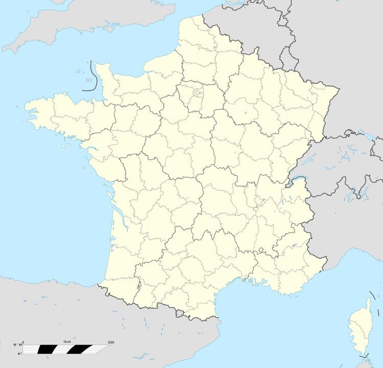
Map of 38730 Blandin, France
Geography
Blandin was erected in 1801. Blandin is located 25 km from Voiron, 14 km from the Tour du Pin. The Bourbre forms the commune's eastern border.
Population
In 2013, the municipality had 134 inhabitants. The evolution of the number of inhabitants is known throughout the population censuses carried out in the town since 1800. From the twenty-first century, actual census towns under 10 000 inhabitants are held every five years, unlike other cities that have a sample survey every year.
References
Blandin Wikipedia(Text) CC BY-SA