
Time zone CET (UTC+1) Area 13.32 km² | Canton Crémieu INSEE/Postal code 38507 /38230 Population 4,838 (1999) | |
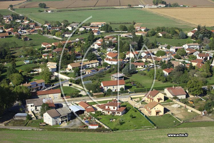 | ||
Tignieu-Jameyzieu is a commune in the Isère department in southeastern France.
Contents
Map of 38230 Tignieu-Jameyzieu, France
Geography
The Bourbre forms part of the commune's western border.
References
Tignieu-Jameyzieu Wikipedia(Text) CC BY-SA