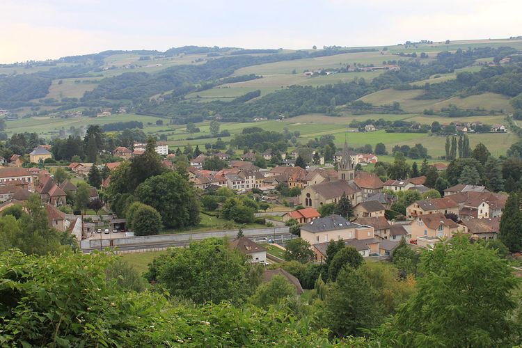
Country France Canton Virieu Time zone CET (UTC+1) Population 940 (1999) Arrondissement La Tour-du-Pin | Region Auvergne-Rhône-Alpes Intercommunality Vallée de la Bourbre Area 11.38 km² INSEE/Postal code 38560 /38730 Department Isère | |
 | ||
Elevation 384–775 m (1,260–2,543 ft) | ||
Virieu, also Virieu-sur-Broubre, is a commune in the Isère department in southeastern France.
Contents
Map of 38730 Virieu, France
Geography
The small river Bourbre forms most of the commune's western border.
References
Virieu Wikipedia(Text) CC BY-SA
