
Length 248 km Country United States of America | Source Dillon | |
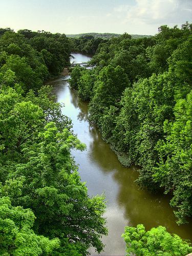 | ||
The Bourbeuse River (French for 'muddy') is a river located in east-central Missouri, in the Ozarks region, and is one of two major tributaries of the Meramec River, the other being the Big River. The Bourbeuse flows to the northeast from its source (37.9765°N 91.7144°W / 37.9765; -91.7144 (Bourbeuse River (source))) near the locale of Dillon in Phelps County, through Maries County, Gasconade County, Crawford County, and Franklin County, where it discharges into the Meramec River near Moselle (38.3991°N 90.8898°W / 38.3991; -90.8898 (Bourbeuse River (mouth))). The elevation of the river at its source is approximately 1,120 feet (340 m) above sea level and at its mouth about 446 feet (136 m). The total length of the river is 154 miles (248 km), while the airline distance between source and mouth is 53 miles (85 km). The watershed area is 842.9 square miles (2,183 km2).
Contents
Map of Bourbeuse River, Meramec Township, MO, USA
Tributaries of the Bourbeuse River include Spring Creek, Boone Creek, Brush Creek, Red Oak Creek, Dry Fork, Little Bourbeuse River, and Lower Bourbeuse River.
Character of the riverEdit
The river's lower 132 miles (212 km) has permanent flow, but unlike many other Ozark streams of its size, it has a low base flow, due to a paucity of springs feeding it. The river is low-gradient and tends to be more muddy than other Ozark streams. Usually only the lower 108 miles (174 km) are navigable in summer.
The river is highly crooked: one section, near Noser Mill, has 11 miles (18 km) of river between points less than a half mile apart. 107 miles (172 km) of the river are in Franklin County, and only 27 airline miles. Unusual for a river of its size, a number of river bends are named. Like many other Ozark streams, the Bourbeuse River has entrenched meanders.
Numerous fords are named on this river, compared to other rivers in the state. The gravel riverbeds, low average river flow, and lack of sufficient bridges both allow and require the use of natural river crossings.
The USGS stream gauge in Union, near the mouth of the river, measures an average flow of 681 cubic feet (19.3 m3) per second.