
Country United States Designated(as the county seat) 1827 Population 10,577 (2013) | Founded 1826 Zip code 63084 Local time Friday 2:37 PM | |
 | ||
Weather 9°C, Wind NW at 16 km/h, 76% Humidity | ||
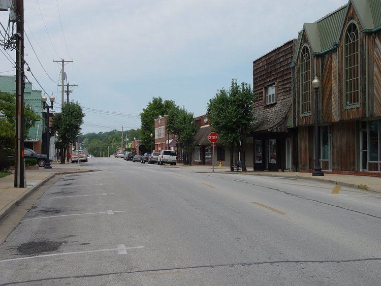
Union is a city in and the county seat of Franklin County, Missouri, United States. It is located on the Bourbeuse River 50 miles (80 km) southwest of St. Louis. The population was 10,204 at the 2010 census, with the city showing the highest growth rate (32%) in Franklin County the last decade.
Contents
- Map of Union MO 63084 USA
- History
- Geography
- 2010 census
- 2000 census
- Government
- Rail
- Schools
- Higher education
- References
Map of Union, MO 63084, USA
History
Union was founded in 1826 and designated as the county seat in 1827. The city is named for the ideal of political unity. A post office called Union has been in operation since 1827.
Geography
Union is located at 38°26′48″N 91°0′22″W (38.446684, -91.006070). According to the United States Census Bureau, the city has a total area of 9.16 square miles (23.72 km2), all of it land.
2010 census
As of the census of 2010, there were 10,204 people, 3,902 households, and 2,612 families residing in the city. The population density was 1,114.0 inhabitants per square mile (430.1/km2). There were 4,226 housing units at an average density of 461.4 per square mile (178.1/km2). The racial makeup of the city was 95.7% White, 1.1% African American, 0.6% Native American, 0.4% Asian, 0.5% from other races, and 1.6% from two or more races. Hispanic or Latino of any race were 1.4% of the population.
There were 3,902 households of which 39.1% had children under the age of 18 living with them, 47.7% were married couples living together, 13.1% had a female householder with no husband present, 6.1% had a male householder with no wife present, and 33.1% were non-families. 27.1% of all households were made up of individuals and 10.8% had someone living alone who was 65 years of age or older. The average household size was 2.59 and the average family size was 3.14.
The median age in the city was 31.9 years. 28.2% of residents were under the age of 18; 9.9% were between the ages of 18 and 24; 29.1% were from 25 to 44; 21.4% were from 45 to 64; and 11.5% were 65 years of age or older. The gender makeup of the city was 48.3% male and 51.7% female.
2000 census
As of the 2000 United States Census, there were 7,757 people, 2,940 households, and 2,002 families residing in the city. The population density was 959.9 people per square mile (370.7/km²). There were 3,133 housing units at an average density of 387.7 per square mile (149.7/km²). The racial makeup of the city was 96.44% White, 1.43% African American, 0.30% Native American, 0.17% Asian, 0.23% from other races, and 1.43% from two or more races. Hispanic or Latino of any race were 0.99% of the population.
There were 2,940 households out of which 35.7% had children under the age of 18 living with them, 52.7% were married couples living together, 11.5% had a female householder with no husband present, and 31.9% were non-families. 26.8% of all households were made up of individuals and 11.1% had someone living alone who was 65 years of age or older. The average household size was 2.56 and the average family size was 3.10.
In the city, the population was spread out with 27.6% under the age of 18, 9.3% from 18 to 24, 31.0% from 25 to 44, 19.1% from 45 to 64, and 13.0% who were 65 years of age or older. The median age was 34 years. For every 100 females there were 94.1 males. For every 100 females age 18 and over, there were 91.0 males.
The median income for a household in the city was $39,596, and the median income for a family was $44,474. Males had a median income of $31,852 versus $22,924 for females. The per capita income for the city was $16,885. About 4.2% of families and 7.2% of the population were below the poverty line, including 4.8% of those under age 18 and 11.2% of those age 65 or over.
Government
The City of Union is a 4th Class City with a City Administrator form of government. The elected, policy-making body of the City consists of a Mayor and an eight-member Board of Aldermen. Union is divided into four wards and each ward has two aldermanic representatives. Municipal elections are held on the first Tuesday of April every year.
The City Administrator is appointed by the Board of Aldermen and is the full-time Administrative Officer of the City responsible for overseeing all daily operations and the municipal staff. The current Mayor of Union is Mayor Mike Livengood. The city is divided into four wards. Two Aldermen are elected from each ward and sit on the Board of Aldermen.
Rail
Central Midland Railway (CMR), a division of Progressive Rail Inc. of Minnesota, provides regular freight rail service to industrial customers located in Union. CMR operates the far eastern segment of the former Chicago, Rock Island and Pacific Railway's St. Louis to Kansas City main line that was constructed in 1870. The active portion of the former CRI&P line runs from the north side of St. Louis, where it connects with the Terminal Railroad Association of St. Louis and Union Pacific Railroad, and now terminates in Union, Missouri.
Schools
Union, Missouri has one public high school (The UHS Wildcats), one public middle school (The UMS Wildcats), and two public elementary schools (Also the Wildcats). Central Elementary School serves kindergarten through third grades, and Clark-Vitt Elementary School serves 4th through 6th grades. Union also has one private Catholic school, Immaculate Conception.
Higher education
Union is home to East Central College, which offers 2-year degrees and certificates. Central Methodist University has an extension on the ECC campus. Union is also home to an extension of Missouri Baptist University, located in a shopping center.