
Sovereign state United Kingdom Area 202.8 km² | Constituent country England Founded 1 April 1974 Area rank 165th | |
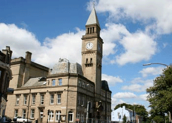 | ||
Points of interest Destinations Chorley, Leyland, Rivington, White Coppice, Mawdesley | ||
The Borough of Chorley is a local government district with borough status in Lancashire, England. The population of the Borough at the 2011 census was 104,155. It is named after its largest settlement, the town of Chorley.
Contents
Map of Chorley District, UK
Creation
The present non-metropolitan Borough of Chorley was formed on 1 April 1974 by the merger of the then existing Municipal Borough of Chorley with the urban districts of Adlington and Withnell, and Chorley Rural District.
Parishes
With exception of the town of Chorley, which remains an unparished area, the borough has twenty-three civil parishes:
- Adlington
- Anderton
- Anglezarke
- Astley Village
- Bretherton
- Brindle
- Charnock Richard
- Clayton-le-Woods
- Coppull
- Croston
- Cuerden
- Eccleston
- Euxton
- Heapey
- Heath Charnock
- Heskin
- Hoghton
- Mawdesley
- Rivington
- Ulnes Walton
- Wheelton
- Whittle-le-Woods
- Withnell.
Wards
Chorley Council is made up of forty-seven councillors, representing the following twenty electoral wards:
- Adlington & Anderton
- Astley & Buckshaw
- Brindle and Hoghton
- Chisnall (covering Charnock Richard, Heskin and Coppull West)
- Chorley East
- Chorley North East
- Chorley North West
- Chorley South East
- Chorley South West
- Clayton-le-Woods & Whittle-le-Woods
- Clayton-le-Woods North
- Clayton-le-Woods West & Cuerden
- Coppull
- Eccleston & Mawdesley
- Euxton North
- Euxton South
- Heath Charnock & Rivington
- Lostock (covering Bretherton, Croston, & Ulnes Walton)
- Pennine (covering Heapey & Anglezarke)
- Wheelton & Withnell
Parliamentary constituency
The Chorley Parliament constituency is a constituency in the House of Commons, and until recently it was coterminous with the borough. Through boundary changes, Croston, Eccleston, Bretherton and Mawdesley were transferred to the South Ribble constituency. The current Member of Parliament for Chorley is Lindsay Hoyle, who was first elected to the seat in 1997.