
OS grid reference SD616190 Post town CHORLEY Local time Sunday 5:43 AM | Sovereign state United Kingdom Postcode district PR6 Dialling code 01257 | |
 | ||
Weather 6°C, Wind NW at 14 km/h, 93% Humidity | ||
White coppice
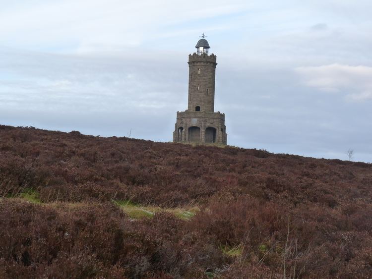
White Coppice is a hamlet near Chorley, Lancashire, England. It was the most populated part of the township of Anglezarke in the 19th century. Close to the settlement in the early 19th century were quarries and small coal mines. The hamlet lies to the north of Anglezarke Reservoir in the Rivington reservoir chain built to provide water for Liverpool in the mid 19th century. To the south west is a hill known as Healey Nab.
Contents
- White coppice
- Map of White Coppice Chorley UK
- White coppice great hill walk
- Notable residents
- Cricket
- References
Map of White Coppice, Chorley, UK
White Coppice had a cotton mill at the start of the Industrial Revolution. Its mill lodge provided water for a steam engine, and before that the mill was powered by a waterwheel on the Black Brook. Around 1900 the mill was owned by Alfred Ephraim Eccles, a supporter of the Temperance movement.
White coppice great hill walk
Notable residents
Cricket
Cricket is played at a ground in the hamlet. The 1st and 2nd XI cricket teams play in the Moore and Smalley Palace Shield.