
FIPS code 19-31530 Elevation 344 m Zip code 50542 Local time Thursday 6:52 AM | Time zone Central (CST) (UTC-6) GNIS feature ID 0463548 Area 3.08 km² Population 621 (2013) Area code 515 | |
 | ||
Weather -4°C, Wind SE at 19 km/h, 72% Humidity | ||
Goldfield is a city in Wright County, Iowa, United States. The population was 635 at the 2010 census.
Contents
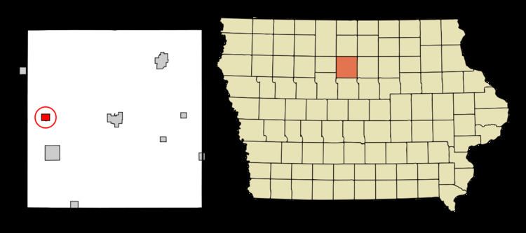
Map of Goldfield, IA 50542, USA
History
A post office called Goldfield has been in operation since 1856. Brassfield was the name of a pioneer settler, but it was decided that Goldfield sounded like a more suitable placename.
Geography
Goldfield's longitude and latitude coordinates
in decimal form are 42.734708, -93.920163.
The city is located along the Boone River.
According to the United States Census Bureau, the city has a total area of 1.19 square miles (3.08 km2), all of it land.
2010 census
As of the census of 2010, there were 635 people, 290 households, and 187 families residing in the city. The population density was 533.6 inhabitants per square mile (206.0/km2). There were 313 housing units at an average density of 263.0 per square mile (101.5/km2). The racial makeup of the city was 95.4% White, 0.3% African American, 0.5% Native American, 0.9% from other races, and 2.8% from two or more races. Hispanic or Latino of any race were 3.0% of the population.
There were 290 households of which 23.8% had children under the age of 18 living with them, 50.7% were married couples living together, 8.3% had a female householder with no husband present, 5.5% had a male householder with no wife present, and 35.5% were non-families. 31.0% of all households were made up of individuals and 13.8% had someone living alone who was 65 years of age or older. The average household size was 2.19 and the average family size was 2.67.
The median age in the city was 46.6 years. 19.2% of residents were under the age of 18; 7.6% were between the ages of 18 and 24; 21.2% were from 25 to 44; 31% were from 45 to 64; and 21.1% were 65 years of age or older. The gender makeup of the city was 50.7% male and 49.3% female.
2000 census
As of the census of 2000, there were 680 people, 295 households, and 194 families residing in the city. The population density was 666.0 people per square mile (257.4/km²). There were 315 housing units at an average density of 308.5 per square mile (119.2/km²). The racial makeup of the city was 99.26% White, 0.15% Native American, 0.44% from other races, and 0.15% from two or more races. Hispanic or Latino of any race were 1.62% of the population.
There were 295 households out of which 27.5% had children under the age of 18 living with them, 56.9% were married couples living together, 5.1% had a female householder with no husband present, and 34.2% were non-families. 29.5% of all households were made up of individuals and 18.0% had someone living alone who was 65 years of age or older. The average household size was 2.31 and the average family size was 2.81.
Age spread: 22.6% under the age of 18, 7.9% from 18 to 24, 24.1% from 25 to 44, 22.4% from 45 to 64, and 22.9% who were 65 years of age or older. The median age was 42 years. For every 100 females there were 104.8 males. For every 100 females age 18 and over, there were 102.3 males.
The median income for a household in the city was $32,411, and the median income for a family was $41,250. Males had a median income of $28,409 versus $19,886 for females. The per capita income for the city was $16,983. About 4.2% of families and 7.2% of the population were below the poverty line, including 5.6% of those under age 18 and 9.9% of those age 65 or over.
Economy
In 2006 a 50 million-gallons-per-year ethanol plant was built in Goldfield by Central Iowa Renewable Energy LLC. The $86 million project brought about 40 new jobs to the community. There are plans to double the annual production capacity of the plant in 2009. Future Energy LLC is planning to build a biodiesel plant near Goldfield. That project will bring 30 new jobs to the area. Goldfield Industrial Park is a 10-acre (40,000 m2) industrial development site East of Goldfield on Highway 3. Goldfield has a great proximity to larger towns such as Clarion, Eagle Grove, and Humboldt.
Education
Clarion-Goldfield Community Schools serve the education needs of the Goldfield community. The Goldfield Community School provided K-12 education from 1912 to 1981. In 1956 the present Goldfield school building was built. In 1981 Goldfield Community School began whole grade sharing with Clarion Community Schools, the first such arrangement in the state. Clarion is located 8 miles (13 km) East of Goldfield on Highway 3. At that time Goldfield students in grades 9-12 attended Clarion High School during the morning and returned to Goldfield later for a class and extracurriculuar activities. In 1986 middle school students joined the high school students in Clarion. In 1993 the Clarion and Goldfield districts passed a merger and reorganized into the Clarion-Goldfield Community School District. The merger was passed by 89% and 99% in each district respectively. An elementary school program is maintained in Goldfield. In 2002 3rd grade for the entire district was combined in the Goldfield Elementary to greater utilize the building. In 2005 Dows Community School followed in Goldfield's footsteps and began whole grade sharing grades 6-12 to Clarion-Goldfield. In 2010 it was noted that 12 families living in Goldfield open enrolled their kids into the Eagle Grove Community School District. The Eagle Grove Community School District is only 5 miles (8.0 km) away from Goldfield compared to 8 miles (13 km) to Clarion.