
- elevation 171 m (561 ft) Length 347 km Mouth Barwon River | - elevation 113 m (371 ft) | |
 | ||
- right Ballandool River, Little Yamba Creek Lgas Shire of Balonne, Brewarrina Shire | ||
The Bokhara River, a watercourse that is part of the Barwon catchment within the Murray–Darling basin, is located in the South Downs region of Queensland, flowing downstream into the north–western slopes of New South Wales, Australia. It flows through the lower Balonne floodplain.
Contents
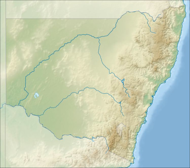
Map of Bokhara River, New South Wales, Australia
Course and features
The river rises at the Balonne River south of Dirranbandi, within the state of Queensland, and is one of several branches of the Balonne that flows generally south–west, joined by five minor tributaries, before reaching its confluence with the Barwon River, downstream from Brewarrina. The river descends 58 metres (190 ft) over its 347-kilometre (216 mi) course.
The Bokhara River, from its source towards its mouth, flows past the towns of Hebel and Goodooga. Water from the river is used by farmers to irrigate a variety of crops, including barley, wheat and cotton.