
Gmina Bogatynia Car plates DZG Population 19,068 (2006) | Time zone CET (UTC+1) Area 59.88 km² Local time Monday 3:50 AM | |
 | ||
Postal code 59-920 or 59-916 (districts: Turoszów, Zatonie Kolonia, Trzciniec Górny i Dolny, Stare Zatonie) Weather 2°C, Wind S at 10 km/h, 91% Humidity Voivodeship | ||
Bogatynia ([bɔɡaˈtɨɲa] is a town in Zgorzelec County, Lower Silesian Voivodeship, in south-western Poland.
Contents
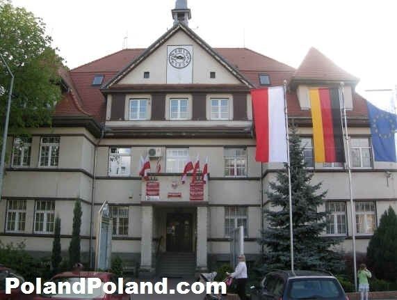
Map of Bogatynia, Poland
Geography
The municipal area forms a Polish "panhandle" between the Czech town of Frýdlant in the east and the German town of Zittau in the west. To the southwest, the tripoint of the Czech, German and Polish borders is located on the Neisse River. The town lies approximately 27 kilometres (17 mi) south of Zgorzelec, and 147 kilometres (91 mi) west of the regional capital Wrocław. As of 2006 it had 19,068 inhabitants.
History
The settlement of Richnow in the historical region of Upper Lusatia was first mentioned in a 1262 deed, then a possession of Cistercian St. Marienthal Abbey near Ostritz. It prospered from its location on an important trade route connecting Dresden, residence of the Meissen margraves, with Świdnica in Silesia. Initially a possession of the Kingdom of Bohemia, the Habsburg emperor Ferdinand II granted Lusatia to the Saxon Electorate by the 1635 Peace of Prague.
As Saxony had sided with the French Empire during the Napoleonic Wars, it had to cede the northeastern part of Upper Lusatia to Prussia according to the Final Act of the 1815 Vienna Congress. After the new border had been drawn, Reichenau was the only possession east of the Neisse River that remained with the newly established Kingdom of Saxony. With the implementation of the Oder-Neisse line according to the Potsdam Agreement at the end of World War II, it was therefore the only municipality in Poland which until 1945 had been part of the Free State of Saxony.
The town used to be connected via narrow gauge railway lines opened in 1884 to Zittau and to the Bohemian border, where it was linked with the Frýdlant–Heřmanice Railway in 1900. Cross border service discontinued in 1945, the railway line was finally closed down in 1961.
On August 8, 2010, the Miedzianka stream flooded the entire central part of the town, causing heavy damage and destroying several historic buildings. The cause of the flooding was extremely heavy rain and the resulting swelling of the river Miedzianka. Two people died.
Economy
Today Bogatynia is one of the richest towns per capita in Poland, due to its two principal enterprises: the Turów Coal Mine, a large open-pit on the grounds of the former Rybarzowice village (Reibersdorf), and the associated thermal power station, Elektrownia Turów, operated by the Polska Grupa Energetyczna, the third-largest of the country. The word bogaty in Polish describes a rich or wealthy person - a calque from the town's original German name, 'Reichenau' (reich: "rich").
Notable people
Twin towns — sister cities
Bogatynia is twinned with: