
Peak Mount Perkins Length 75 mi (121 km) N-S Highest point Mount Wilson | Elevation 5,456 ft (1,663 m) Country United States of America | |
 | ||
Width 13 mi (21 km) (variable) Address Dolan Springs, AZ 86441, USA Mountains Boundary Cone, Mount Wilson, Fortification Hill Similar Sitgreaves Pass, Boundary Cone, Hualapai Mountains, Eldorado Mountains, Davis Dam | ||
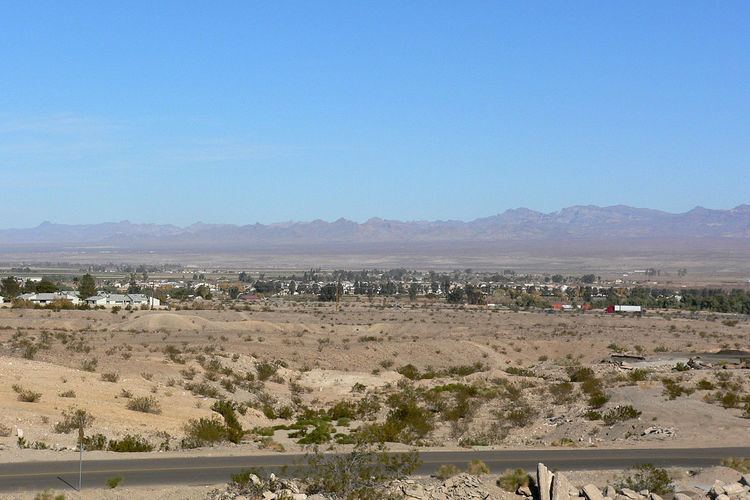
The Black Mountains of northwest Arizona are an extensive, mostly linear, north-south 75-mile (121 km) long mountain range. It forms the north-south border of southwest Mohave County as it borders the eastern shore of the south-flowing Colorado River from Hoover Dam.
Contents
The northwest, and parts of the west of the range are located in the Lake Mead National Recreation Area. Three wilderness areas are in the range, and the historic mining site of Oatman, Arizona, 4 mi adjacent and north of Boundary Cone, is nestled in the range's south between the Mount Nutt and Warm Springs Wildernesses.
DescriptionEdit
The mountain range is generally 10-15 mi wide, narrower in the north, and west of the Detrital Valley northeast. The southern end of the range with the two wilderness areas is a larger block and the Warm Springs Wilderness is made of a mountain section called Black Mesa (western Arizona), separated from the north section by Sitgreaves Pass, on the route to Oatman, AZ.
The high point of the range is Mount Perkins at 5,456 feet (1,663 m), located west of the water divide of the Detrital Valley northeast, and the Sacramento Valley (Arizona) southeast. The Cerbat Mountains border eastwards. Mount Perkins, in the center-north of the range, is located at 35.56999°N 114.50858°W / 35.56999; -114.50858 (Mount Perkins).
WatershedsEdit
The Black Mountains are in four watersheds. The north and northeast contain the Lake Mead Watershed, and the north-flowing Detrital Wash Watershed. The west along the Colorado River and southern-west contains the Havasu-Mohave Lakes Watershed where the Sacramento Wash Watershed flows into the southern Topock Marsh, at the southern third of the Havasu-Mohave Lakes region.