
 | ||
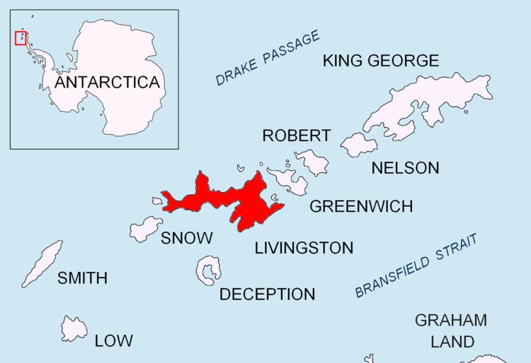
Berkovitsa Glacier (Lednik Berkovitsa \'led-nik ber-'ko-vi-tsa) is a glacier on Livingston Island, Antarctica situated east of Etar Snowfield, south of Medven Glacier, west-northwest of Tundzha Glacier and north-northeast of Verila Glacier. It is bounded by the southeastern slopes of Oryahovo Heights and the northwestern slopes of Snow Peak. It extends 4km in southeast-northwest direction and 2.8km in northwest-southeast direction, and drains northeastwards into Hero Bay between Avitohol Point and Remetalk Point.
Contents
Map of Berkovitsa Glacier, Antarctica
The glacier is named after the town of Berkovitsa in the western Balkan Mountains, Bulgaria.
Location
The glacier is centred at 62°34′20″S 60°41′15″W. Bulgarian mapping in 2005 and 2009.
Maps
References
Berkovitsa Glacier Wikipedia(Text) CC BY-SA