
 | ||
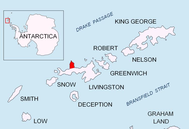
Oryahovo Heights (Oryahovski Vazvisheniya o-'rya-hov-ski v&-zvi-'she-ni-ya) are the ice-covered heights of elevation 340 m extending 6 km in north-south direction in central and eastern Ioannes Paulus II Peninsula, Livingston Island in the South Shetland Islands, Antarctica. They are linked to Snow Peak to the southeast by two saddles separated by the small ice dome of Casanovas Peak described first by Àlex Simón i Casanovas from the Spanish Antarctic Programme in the 2000/01 austral summer.
Contents
They are named after the town of Oryahovo in northwestern Bulgaria.
Location
The heights are centered at 62°32′09″S 60°45′00″W (British mapping in 1968, Bulgarian in 2009).
Maps
References
Oryahovo Heights Wikipedia(Text) CC BY-SA