
Country United States Time zone CST (UTC-6) Elevation 118 m Local time Friday 6:16 AM | Established November 4, 1884 ZIP codes 62812, 62890, 62896 Area 95.1 km² Population 8,972 (2010) | |
 | ||
Weather -1°C, Wind NW at 6 km/h, 76% Humidity | ||
Benton Township is one of twelve townships in Franklin County, Illinois, USA. As of the 2010 census, its population was 8,972 and it contained 4,220 housing units.
Contents
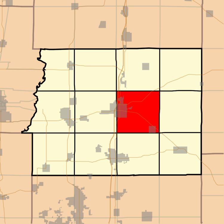
- Map of Benton Township IL USA
- Geography
- Cities towns villages
- Unincorporated towns
- Extinct towns
- Cemeteries
- Major highways
- Airports and landing strips
- Lakes
- Political districts
- Adjacent townships
- References
Map of Benton Township, IL, USA
Geography
According to the 2010 census, the township has a total area of 36.72 square miles (95.1 km2), of which 36.12 square miles (93.6 km2) (or 98.37%) is land and 0.59 square miles (1.5 km2) (or 1.61%) is water.
Cities, towns, villages
Unincorporated towns
Extinct towns
Cemeteries
The township contains these nine cemeteries: Baxter, County Farm, Drummond, Franklin, Masonic-Oddfellow, Memorial Park, New Union, Rea and Swofford.
Major highways
Airports and landing strips
Lakes
Political districts
Adjacent townships
References
Benton Township, Franklin County, Illinois Wikipedia(Text) CC BY-SA