
Country United States Time zone CST (UTC-6) Area 95.8 km² Local time Monday 11:12 AM | Established November 4, 1884 Elevation 118 m Population 5,202 (2010) | |
 | ||
ZIP codes 62812, 62865, 62874, 62896 Weather 15°C, Wind S at 26 km/h, 94% Humidity | ||
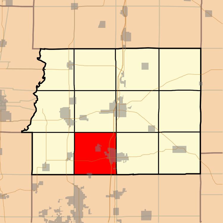
Denning Township is one of twelve townships in Franklin County, Illinois, USA. As of the 2010 census, its population was 5,202 and it contained 2,371 housing units.
Contents
- Map of Denning Township IL USA
- Geography
- Cities towns villages
- Unincorporated towns
- Cemeteries
- Major highways
- Lakes
- School districts
- Political districts
- References
Map of Denning Township, IL, USA
Geography
According to the 2010 census, the township has a total area of 37 square miles (96 km2), of which 35.84 square miles (92.8 km2) (or 96.86%) is land and 1.16 square miles (3.0 km2) (or 3.14%) is water.
Cities, towns, villages
Unincorporated towns
(This list is based on USGS data and may include former settlements.)
Cemeteries
The township contains these four cemeteries: Denning, Follis, Hanes and Rose.
Major highways
Lakes
School districts
Political districts
References
Denning Township, Franklin County, Illinois Wikipedia(Text) CC BY-SA