
Country United States Time zone CST (UTC-6) Area 98.47 km² Population 1,345 (2010) | Established November 4, 1884 Elevation 144 m Local time Friday 7:20 AM | |
 | ||
ZIP codes 62812, 62836, 62846, 62897 Weather 3°C, Wind N at 14 km/h, 65% Humidity | ||
Ewing Township is one of twelve townships in Franklin County, Illinois, USA. As of the 2010 census, its population consisted of 1,345 in 657 households.
Contents
- Map of Ewing Township IL USA
- Geography
- Cities towns villages
- School Districts
- Unincorporated towns
- Cemeteries
- Major highways
- Airports and landing strips
- Political districts
- References
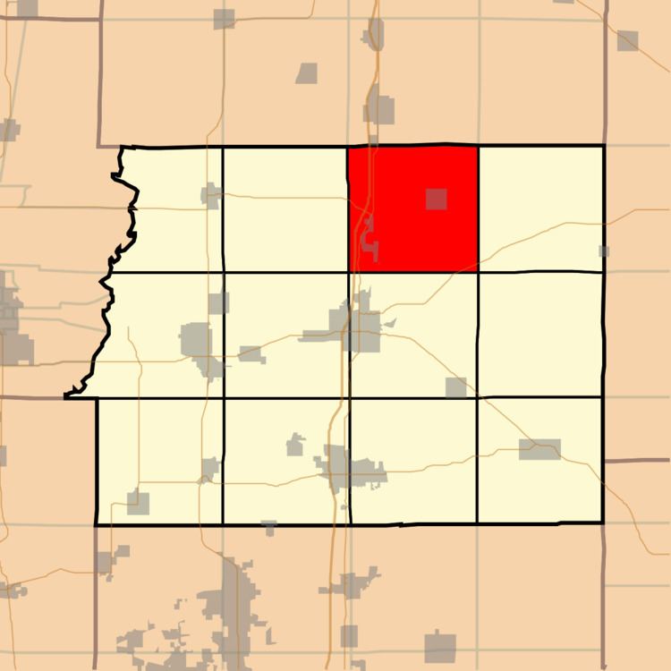
Map of Ewing Township, IL, USA
Geography
According to the 2010 census, the township has a total area of 38.02 square miles (98.5 km2), of which 35.9 square miles (93 km2) (or 94.42%) is land and 2.12 square miles (5.5 km2) (or 5.58%) is water. The east portion of the Wayne Fitzgerrell State Recreation Area is in this township, as is Rend Lake.
Cities, towns, villages
School Districts
Ewing-Northern Grade School 115
Unincorporated towns
(This list is based on USGS data and may include former settlements.)
Cemeteries
The township contains these nine cemeteries: Cypher, Franklin, King, Miller, Overturf, Phillips, Shiloh, Thurmond and Winemiller.
Major highways
Airports and landing strips
Political districts
References
Ewing Township, Franklin County, Illinois Wikipedia(Text) CC BY-SA