
Country United States Time zone CST (UTC-6) Area 94.48 km² Population 2,450 (2010) | Established November 4, 1884 Elevation 116 m Local time Saturday 2:59 PM | |
 | ||
ZIP codes 62812, 62819, 62822, 62865, 62884, 62891 Weather 19°C, Wind SW at 23 km/h, 30% Humidity | ||
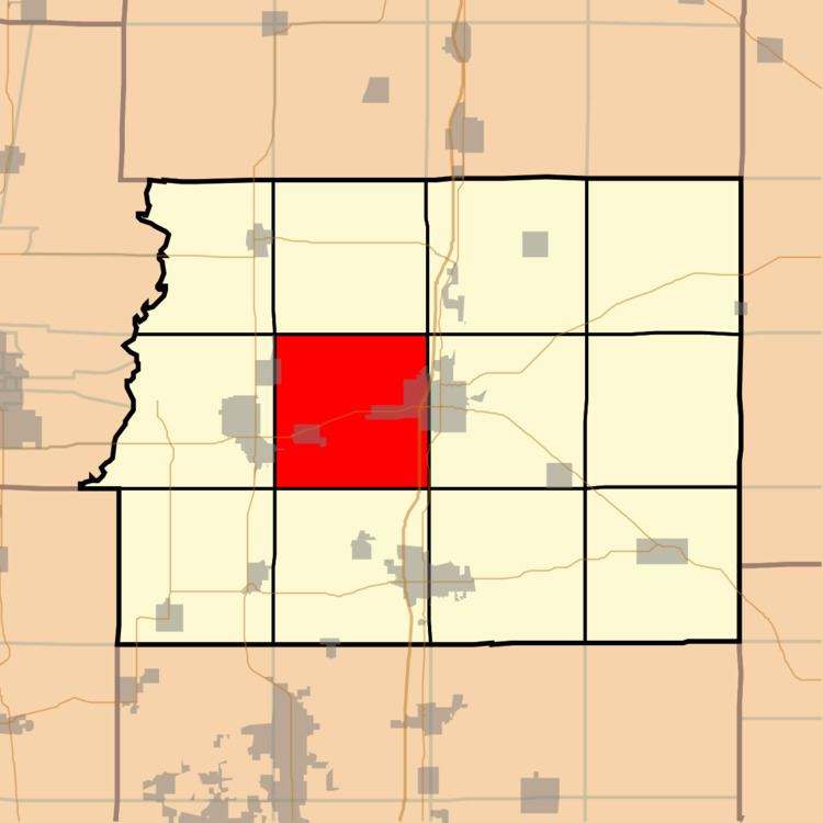
Browning Township is one of twelve townships in Franklin County, Illinois, USA. As of the 2010 census, its population was 2,450 and it contained 1,184 housing units.
Contents
- Map of Browning Township IL USA
- Geography
- Cities towns villages
- Unincorporated towns
- Extinct towns
- Cemeteries
- Major highways
- Airports and landing strips
- Landmarks
- School districts
- Political districts
- References
Map of Browning Township, IL, USA
Geography
According to the 2010 census, the township has a total area of 36.48 square miles (94.5 km2), of which 35.79 square miles (92.7 km2) (or 98.11%) is land and 0.69 square miles (1.8 km2) (or 1.89%) is water.
Cities, towns, villages
Unincorporated towns
Extinct towns
Cemeteries
The township contains eleven cemeteries. These are: Browning, Grammer, Harrison, Hickory Corners, Knight, Moser, Saint Joseph, Saint Marys, Smith and Wayman.
Major highways
Airports and landing strips
Landmarks
School districts
Political districts
References
Browning Township, Franklin County, Illinois Wikipedia(Text) CC BY-SA