
Country United States Time zone CST (UTC-6) Elevation 145 m Local time Monday 8:06 PM | Established November 4, 1884 ZIP codes 62890, 62896 Area 94.56 km² Population 1,756 (2010) | |
 | ||
Weather 18°C, Wind S at 32 km/h, 82% Humidity | ||
Cave Township is one of twelve townships in Franklin County, Illinois, USA. As of the 2010 census, its population was 1,756 and it contained 834 housing units.
Contents
- Map of Cave Township IL USA
- Geography
- Cities towns villages
- Unincorporated towns
- Extinct towns
- Cemeteries
- Major highways
- Lakes
- Political districts
- References
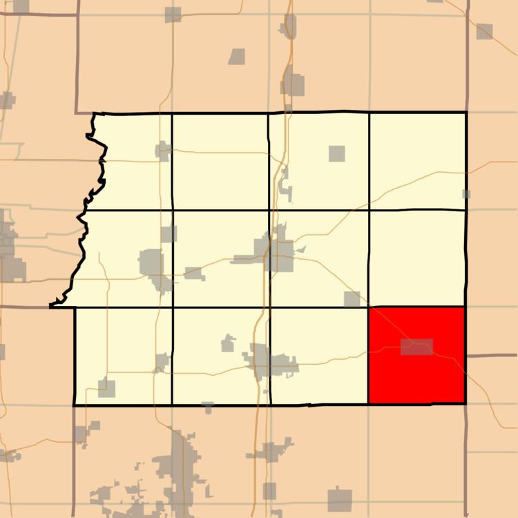
Map of Cave Township, IL, USA
Geography
According to the 2010 census, the township has a total area of 36.51 square miles (94.6 km2), of which 35.75 square miles (92.6 km2) (or 97.92%) is land and 0.76 square miles (2.0 km2) (or 2.08%) is water.
Cities, towns, villages
Unincorporated towns
Extinct towns
Cemeteries
The township contains these six cemeteries: Carter's Temple, Clem, Downs, Eubanks, Isaacs, and Smothers.
Major highways
Lakes
Political districts
References
Cave Township, Franklin County, Illinois Wikipedia(Text) CC BY-SA