
Country India District Murshidabad Telephone/STD code 03484 Area 204 km² Area code 03484 | Time zone IST (UTC+5:30) Elevation 17 m Population 250,458 (2011) | |
 | ||
PIN 742191 (Kashipur)742405 (Satui)742175 (Sabdamnagar) | ||
Beldanga II is a community development block that forms an administrative division in Barhampur subdivision of Murshidabad district in the Indian state of West Bengal. Rejinagar police station serves this block. Headquarters of this block is at Shaktipur. It is located 31 km from Baharampur, the district headquarters.
Contents
Location
Rejinagar is located at 23°50′53″N 88°15′35″E
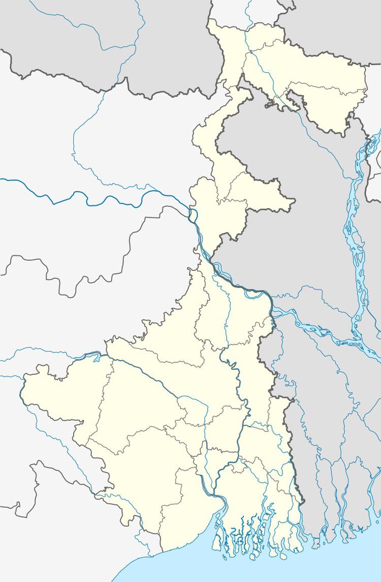
Beldanga II CD Block is bounded by Beldanga I CD Block in the north, Naoda CD Block in the east, Kaliganj CD Block in Nadia district and Ketugram II CD Block in Bardhaman district in the south and Bharatpur I and Bharatpur II CD Blocks in the west.
Area
Beldanga II CD Block has an area of 204.01 km2.
Physical features
The Bhagirathi divides the district into two parts namely Bagri on the east and Rahr on the west. The Padma separates the district from Malda district, and Chapai Nawabganj and Rajshahi districts of Bangladesh.
Gram panchayats
Gram panchayats of Beldanga II block/ panchayat samiti are: Andulberia I, Andulberia II, Dadpur, Kamnagar, Kashipur, Ramnagar-Bachhra, Rampara I, Rampara II, Saktipur, Sompara I, Sompara II.
Population
As per 2011 Census of India Beldanga II CD Block had a total population of 250,458, all of which were rural. There were 129,144 (52%) males and 121,314 (48%) females. Population below 6 years was 34,837. Scheduled Castes numbered 20,863 and Scheduled Tribes numbered 541.
As per 2001 census, Beldanga II block has a total population of 210,195, out of which 109,107 were males and 101,088 were females. Beldanga II block registered a population growth of 19.21 per cent during the 1991-2001 decade. Decadal growth for the district was 23.70 per cent.Decadal growth in West Bengal was 17.84 per cent.
Large villages
Large villages Beldanga II CD Block were (2011 census population figures in brackets): Kamnagar (7,923), Kataikona (4,191), Mian (4,968), Saktipur (13,123), Mahata (5,000), Gholla (4,881), Manikahar (8,114), Palitpara (5,523), Bachhara (5,127), Dakshin Bachhara (4,112), Rejinagar (10,103), Rampara Faridpur (7,768), Pilkhana (5,293), Takipur (5,908), Sadhukhali (4,154), Amarpur (5,829), Bikal Nagar (4,841), Jainagar (5,422), Loknathpur (9,512), Nazirpur (6,912), Gopalpur (6,304), Kashipur (11,967), Jhikra (8,075) and Andulbaria (13,929).
Literacy
As per 2011 census the total number of literates in Beldanga II CD Block was 146,321 (67.86% of the population above 6 years) out of which 79,229 (54%) were males and 67,092 (46%) were females.
As per 2011 census, literacy in Murshidabad district was 66.59.Literacy in West Bengal was 77.08% in 2011.Literacy in India in 2011 was 74.04%.
Language
Bengali is the local language in these areas.
Healthcare
Beldanga II block is one of the areas where ground water is affected by arsenic contamination.
Transportation
The Ranaghat-Lalgola branch line was opened in 1905. It passes through this CD Block and there is a station at Rejinagar.