
Country India Telephone/STD code 03484 Area 165.8 km² Area code 03484 | Time zone IST (UTC+5:30) Elevation 22 m Population 319,322 (2011) | |
 | ||
PIN 742133 (Beldanga)742134 (Bhabta)742176 (Madda) | ||
Beldanga I is a community development block that forms an administrative division in Barhampur subdivision of Murshidabad district in the Indian state of West Bengal. Beldanga police station serves this block. Headquarters of this block is at Beldanga. It is located 16 km from Baharampur, the district headquarters.
Contents
Location
Beldanga is located at 23°56′N 88°15′E
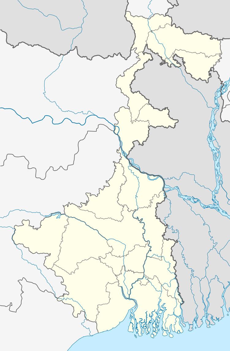
Beldanga I CD Block is bounded by Berhampore CD Block in the north, Hariharpara CD Block in the east, Beldanga II CD Block in the south and Nabagram CD Block, in the west.
Area
Beldanga I CD Block has an area of 165.77 km2.
Physical features
The Bhagirathi divides the district into two parts namely Bagri on the east and Rahr on the west. The Padma separates the district from Malda district, and Chapai Nawabganj and Rajshahi districts of Bangladesh.
Gram panchayats
Gram panchayats of Beldanga I block/ panchayat samiti are: Begunbari, Bhabta I, Bhabta II, Chaitanyapur I, Chaitanyapur II, Debkundu, Kapasdanga, Madda, Mahula I, Mahula II, Mirzapur I, Mirzapur II and Sujapur-Kumarpur.
Population
As per 2011 Census of India Beldanga I CD Block had a total population of 319,322, of which 310,470 were rural and 8,852 were urban. There were 164,147 (51%) males and 155,175 (49%) females. The population of those below 6 years was 50,070. Scheduled Castes numbered 12,621 and Scheduled Tribes numbered 252.
As per 2001 census, Beldanga I block has a total population of 259,139, out of which 134,602 were males and 124,537 were females. Beldanga I block registered a population growth of 23.35 per cent during the 1991-2001 decade. Decadal growth for the district was 23.70 per cent.Decadal growth in West Bengal was 17.84 per cent.
Census town and large villages
The only census town in Beldanga I CD Block was (2011 census population figure in bracket): Barua (P) (8,852).
Large villages in Beldanga I CD Block were (2011 census population figure in brackets) : Mahala (11,793), Bhabta (13,988), Gangapur (5,499), Gopinathpur (12,522), Pulinda (8,761), Naoda (8,071), Dalua (4,267), Rameswarpur (6.075), Mahespur (4,800), Radhaballabhpur (4,109), Jalalpur (5,625), Kumarpur (6,704), Jhunka (8,783), Debkunda (11,429), Madda (15,114), Hareknagar (12,703), Bishannagar (12,896), Maniknagar (9,649), Kazisaha (13,489), Begunbari (10,893), Sarulia (P) (9,417), Mahyampur (7,050), Mirzapur (27,364), Naopukhuria (15,454) and Kapasdanga (13,123).
Literacy
As per 2011 census the total number of literates in Beldanga I CD Block was 188,635 (70.06% of the population above 6 years) out of which 99,823 (53%) were males and 88,812 (47%) were females.
As per 2011 census, literacy in Murshidabad district was 66.59.Literacy in West Bengal was 77.08% in 2011.Literacy in India in 2011 was 74.04%.
Language
Bengali is the local language in these areas.
Healthcare
Beldanga I block is one of the areas where ground water is affected by arsenic contamination.
Transportation
The Ranaghat-Lalgola branch line was opened in 1905. It passes through this CD Block and there are stations at Beldanga and Bhabta.