
Lok Sabha constituency Baharampur Elevation 20 m Local time Thursday 9:41 AM | Time zone IST (UTC+5:30) Vidhan Sabha constituency Beldanga Population 25,361 (2001) University S.R. Fatepuria College | |
 | ||
Weather 26°C, Wind SW at 8 km/h, 49% Humidity | ||
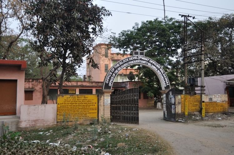
Beldanga is a town and a municipality in Murshidabad district in the state of West Bengal, India. Beldanga is an important trade centre of this district.
Contents
Map of Beldanga, West Bengal
Geography
Beldanga is located at 23.93°N 88.25°E / 23.93; 88.25. It has an average elevation of 20 metres (65 feet).
Demographics
As of 2001 India census, Beldanga had a population of 25,361. Males constitute 52% of the population and females 48%. Beldanga has an average literacy rate of 67%, higher than the national average of 59.5%; with 55% of the literates being male and 45% being female. 13% of the population is under 6 years of age.
Transport
Beldanga is well connected with Kolkata via Sealdah-Lalgola Division Railway. Lalgola Passengers and few express trains stop here. National Highway 34 passes through the Barua Bajar, Beldanga town.