Airport type Public 9/27 4,300 Elevation 204 m | Elevation AMSL 669 ft / 204 m 4,300 1,311 Phone +1 231-448-2750 | |
 | ||
Address 28215 Airport Rd, Beaver Island, MI 49782, USA Similar Beaver Island Realty, Ed Wojan Realty, Berkshire Hathaway HomeSer, Beaver Island Chamber | ||
Making the turn to downwind at ksjx beaver island airport
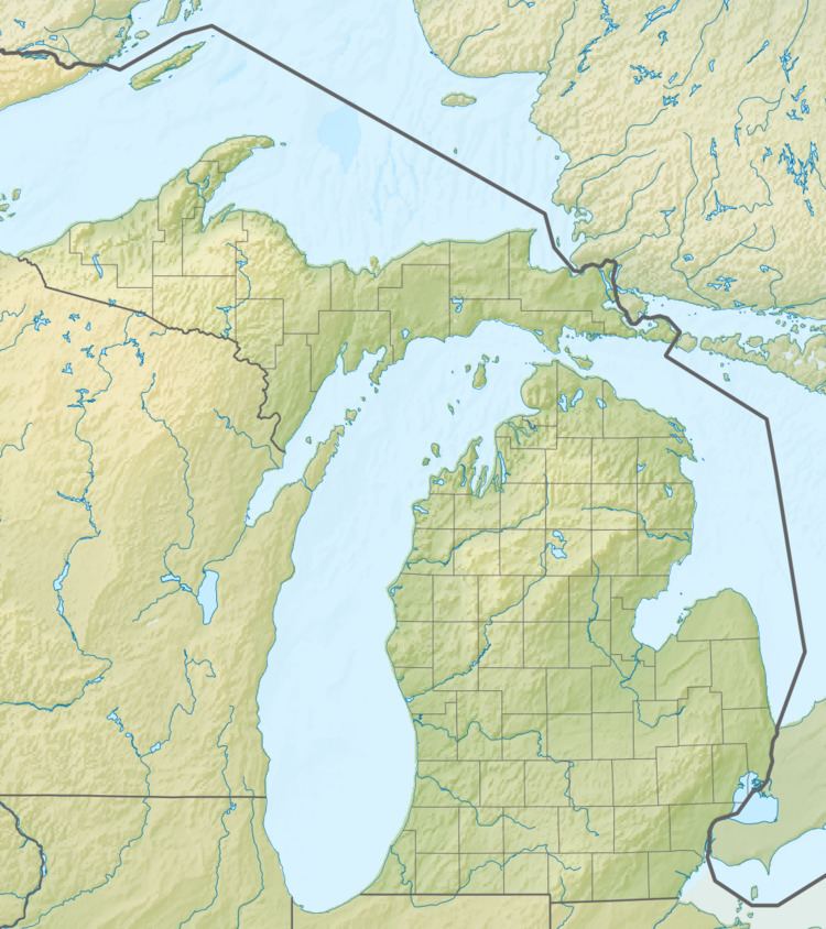
Beaver Island Airport (ICAO: KSJX, FAA LID: SJX) is a public use airport located on Beaver Island in Charlevoix County, Michigan, United States. It is owned by St. James Township and Peaine Township. It is included in the Federal Aviation Administration (FAA) National Plan of Integrated Airport Systems for 2017–2021, in which it is categorized as a local general aviation facility.
Contents
- Making the turn to downwind at ksjx beaver island airport
- Beaver island airport ksjx rwy 27 dusk departure with high island flyover
- Facilities and aircraft
- References
Although many U.S. airports use the same three-letter location identifier for the FAA and IATA, this airport is assigned SJX by the FAA and no designation from the IATA (which assigned SJX to Sarteneja Airport in Sarteneja, Belize).
Beaver island airport ksjx rwy 27 dusk departure with high island flyover
Facilities and aircraft
Beaver Island Airport covers an area of 130 acres (53 ha) at an elevation of 669 feet (204 m) above mean sea level. It has three runways: 9/27 has an asphalt pavement measuring 4,300 by 75 feet (1,311 x 23 m); 14/32 and 5/23 have turf surfaces measuring 3,300 by 120 feet (1,006 x 37 m) and 2,130 by 120 feet (649 x 37 m) respectively. Runways 14/32 and 5/23 are closed November through April, and also when snow-covered. Access to the airport is via Donnell Mor's Lane.
For the 12-month period ending December 31, 2006, the airport had 9,210 aircraft operations, an average of 25 per day: 60% air taxi and 40% general aviation.
