
Time zone EAT (UTC+3) Local time Wednesday 1:37 AM | Elevation 1,060 m | |
 | ||
Weather 21°C, Wind S at 3 km/h, 88% Humidity | ||
Bbaale francis last message to ugandans revealed
Bbaale is a town in the Kayunga District in Uganda. It is the location of the headquarters of Bbaale County. The correct phonetic spelling is with two "b"s and two "a"s, although literature exists in which it is spelled Bale.
Contents
- Bbaale francis last message to ugandans revealed
- Map of Bbaale Uganda
- Location
- Overview
- Points of interest
- References
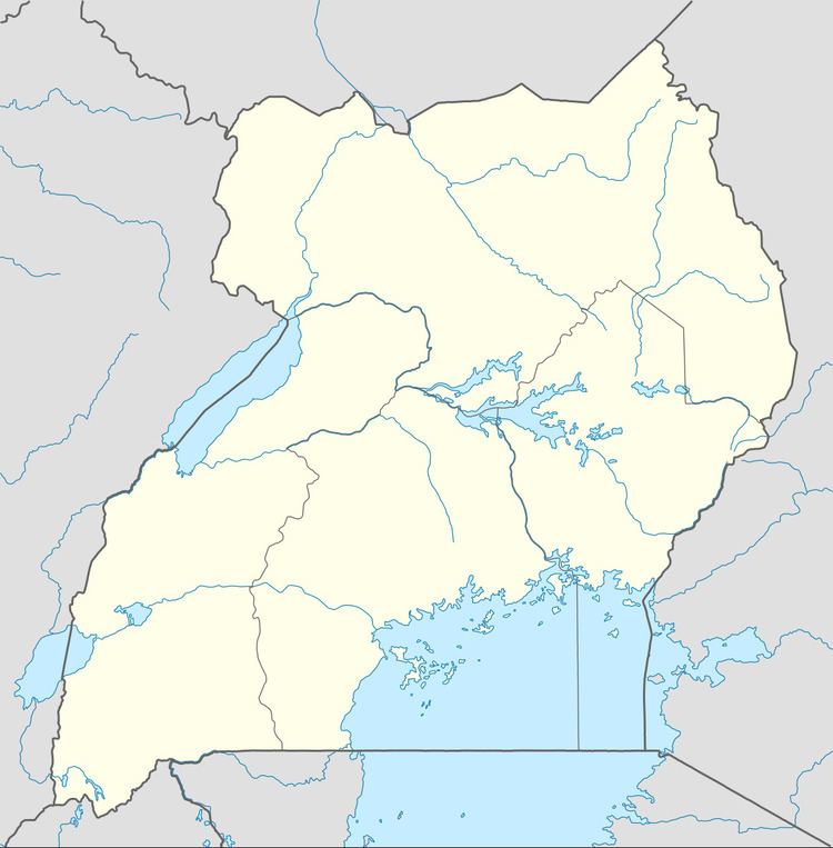
Map of Bbaale, Uganda
Location
Bbaale is approximately 53 kilometres (33 mi), by road, north of Kayunga, the largest town in Kayunga District and the location of the district headquarters. This is approximately 16 kilometres (9.9 mi) northwest of Namasagali in Kamuli District, across the Nile River. The coordinates of Bbaale are:1°05'51.0"N, 32°53'12.0"E (Latitude:1.097500; Longitude:32.886667).
Overview
Bbaale is on the western banks of the Victoria Nile. It is the location of the headquarters of Bbaale County, one of the two counties that constitute Kayunga District, the other being Ntenjeru County.
Points of interest
The following points of interest lie within Bbaale or near its borders: