
Elevation 1,070 m | Time zone EAT (UTC+3) Local time Saturday 1:53 PM | |
 | ||
Weather 26°C, Wind SE at 11 km/h, 66% Humidity | ||
Kayunga is a town in the Central Region of Uganda. It is the main municipal, administrative, and commercial center of Kayunga District.
Contents
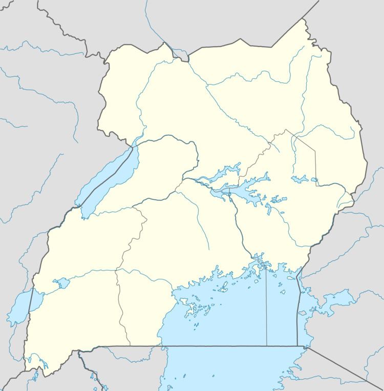
Map of Kayunga, Uganda
Location
Kayunga is approximately 74 kilometres (46 mi) northeast of Kampala, Uganda's capital and largest city, on an all-weather tarmac highway. This is approximately 58 kilometres (36 mi), by road, northwest of the city of Jinja, Uganda's second industrial city, also on an all-weather tarmac highway. The coordinates of the town are 0°42'12.0"N, 32°54'13.0"E (Latitude:0.703333; Longitude:32.903611).
Population
According to the last national population census of 2002, Kayunga town had a population of about 19,800. In 2010, the Uganda Bureau of Statistics (UBOS) estimated the population at 23,100. According to UBOS, the mid-year population was estimated at 23,600 in 2011. In 2014, the national population census put the population at 26,588.
Points of interest
The following points of interest are located within the town limits, or close to its edges: