Local time Monday 11:56 AM | Elevation 1,060 m | |
 | ||
Weather 29°C, Wind S at 10 km/h, 59% Humidity | ||
Namasagali is a town in Eastern Uganda. It is one of the metropolitan areas in Kamuli District.
Contents
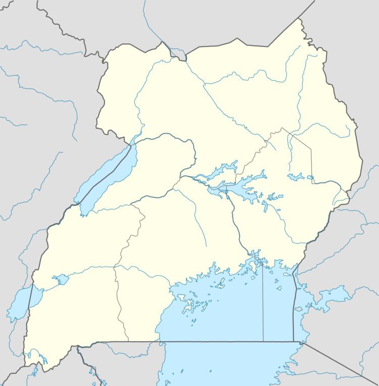
Map of Namasagali, Uganda
Location
The town is located in the northwestern part of Kamuli District, along the eastern bank of the Victoria Nile, approximately 25 kilometres (16 mi), by road, northwest of Kamuli, where the district headquarters are located. This location is approximately 89 kilometres (55 mi), by road, north of Jinja, the largest city in the sub-region. The coordinates of Namasagali are:01 00 45N, 32 57 00E (Latitude:1.0125; Longitude:32.9500).
Population
As of February 2010, the exact population of Namasagali is not known.
Landmarks
The landmarks within the town limits or close to its borders include:
References
Namasagali Wikipedia(Text) CC BY-SA
