
Elevation 1,070 m | Time zone EAT (UTC+3) Local time Tuesday 12:13 AM | |
 | ||
Weather 21°C, Wind S at 5 km/h, 94% Humidity | ||
Ntenjeru is a town in Kayunga District in Uganda. It is the location of the headquarters of Ntenjeru County.
Contents
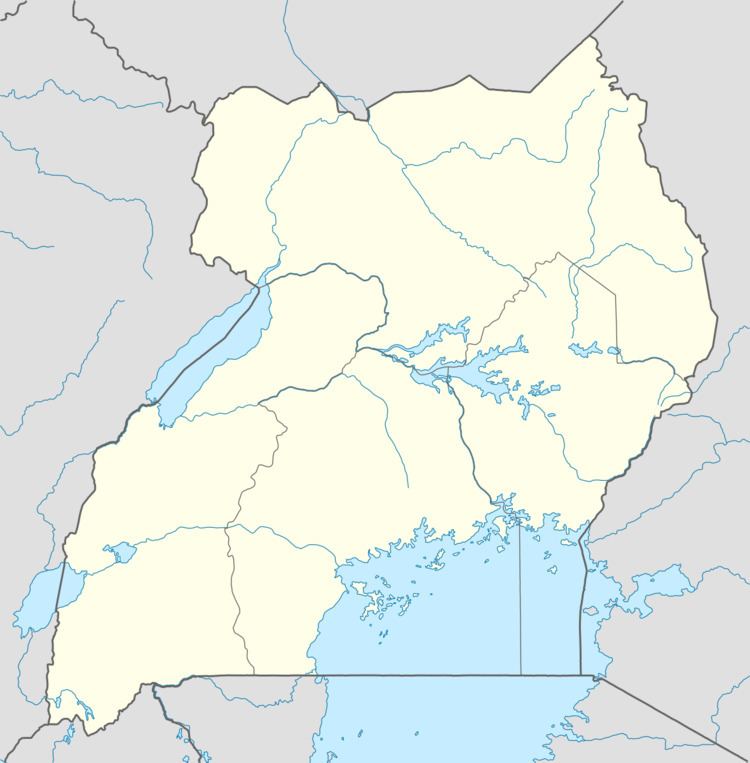
Map of Ntenjeru, Uganda
Location
Ntenjeru is located in Kayunga District, approximately 7 kilometres (4.3 mi), by road, north of Kayunga, the largest town in the district and the location of the district headquarters. This location lies of the main road that runs from Kayunga, in the south of the district to Galiraya, in the extreme north of the district, a distance of approximately 82 kilometres (51 mi). The coordinates of Ntenjeru are:00 44 42N, 32 53 24E (Latitude:0.7450; Longitude:32.8900).
Overview
Ntenjeru is a small town in Kayunga District. It is the location of the headquarters of Ntenjeru County, one of the counties that constitute the district; the other county being Bbaale County.
Population
As of January 2010, the exact population of Ntenjeru is not known.
Landmarks
The landmarks within Ntenjeru or near its borders include: