
Population 15,216 (2001) | Time zone IST (UTC+5:30) Local time Thursday 8:33 AM | |
 | ||
Weather 23°C, Wind N at 11 km/h, 46% Humidity | ||
Bantva or Bantwa (Gujarati: બાંટવા,Urdu: بانٹوا); is a small town in Saurashtra region of the state of Gujarat in India.
Contents
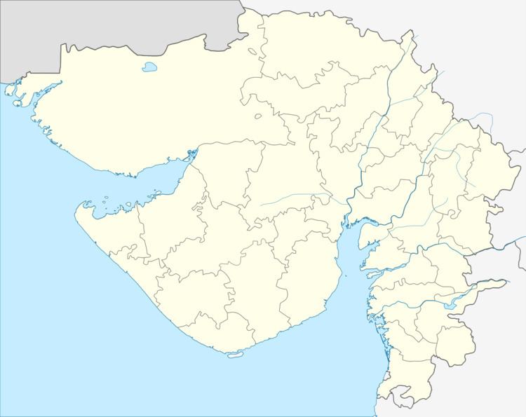
- Map of Bantva Gujarat
- Geography
- History
- Demographics
- Places of interest
- Notable residents of Bantva
- References
Map of Bantva, Gujarat
Geography
Bantva is located at an altitude of 20 meters. Nearby towns are Nanadiya, Limbuda,Nakara Manavadar, Vanthali, Junagadh, Keshod, Visavadar, Kutiyana, Dhoraji, Porbandar and Rajkot. The town is roughly 10 kilometers from the Arabian Sea.
History
Before the Independence of India in 1947, Bantva was part of the princely state of Bantva Manavadar founded in 1760 and locally ruled until February 1948 by Khan Himmat Khan, son of Khan Amir Khan, of the Babi family of Junagadh State.
Demographics
Before 1947, the population of Bantva was approximately 20,000; 80% of its population was Memon. As of the 2001 India census, Bantva had a population of 15,216. Males constitute 52% of the population and females 48%. Bantva has an average literacy rate of 69%, higher than the national average of 59.5%, with 57% of the males and 43% of females literate. 12% of the population is under 6 years of age.
Places of interest
Places of interest in Bantva are:
- Bantwa Gymkhana
- Barwali Masjid
- Jamia Masjid
- Madrassa E Islamia
- Mazaar Of Bukhari Sharif
- Yateem Khana Islamia